Map of Rockville Centre, New York
Get oriented with our Rockville Centre (RVC) map. Everything you need is clearly marked for this village on the South Shore of Long Island, New York.
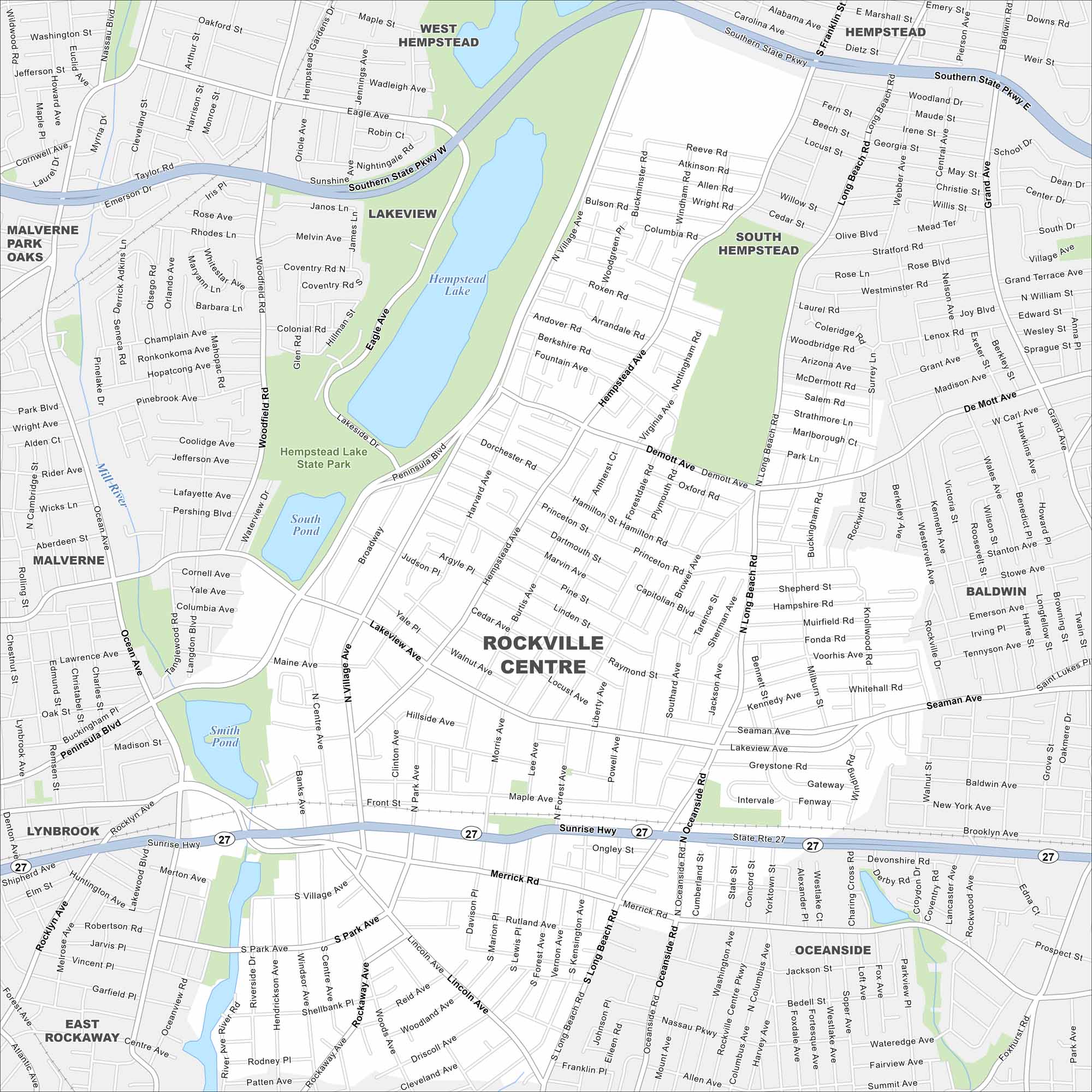
Map Information
On the Map
Interstates/Highways: State Rte 27, Sunrise Hwy Major Roads: Merrick Rd, Peninsula Blvd, Long Beach Rd, Ocean Ave, Woodfield Rd, Hempstead Ave, Lakeview Ave, Front St, De Mott Ave, Grand Ave, Southern State Pkwy, Village Ave, Oceanside Rd, Lincoln Ave, Rockaway Ave, Centre Ave, Clinton Ave, North Ave, South Ave Lakes and Reservoirs: Hempstead Lake, South Pond, Smith Pond Major Rivers: Mill River Parks and Preserves: Hempstead Lake State Park Nearby Communities: West Hempstead, Malverne Park Oaks, Lakeview, South Hempstead, Baldwin, Oceanside, East Rockaway, Lynbrook, MalverneNew York State Maps
Find state maps of the Empire State.


City Maps of New York
Here are the city maps that define New York


