Map of Riviera Beach, Florida
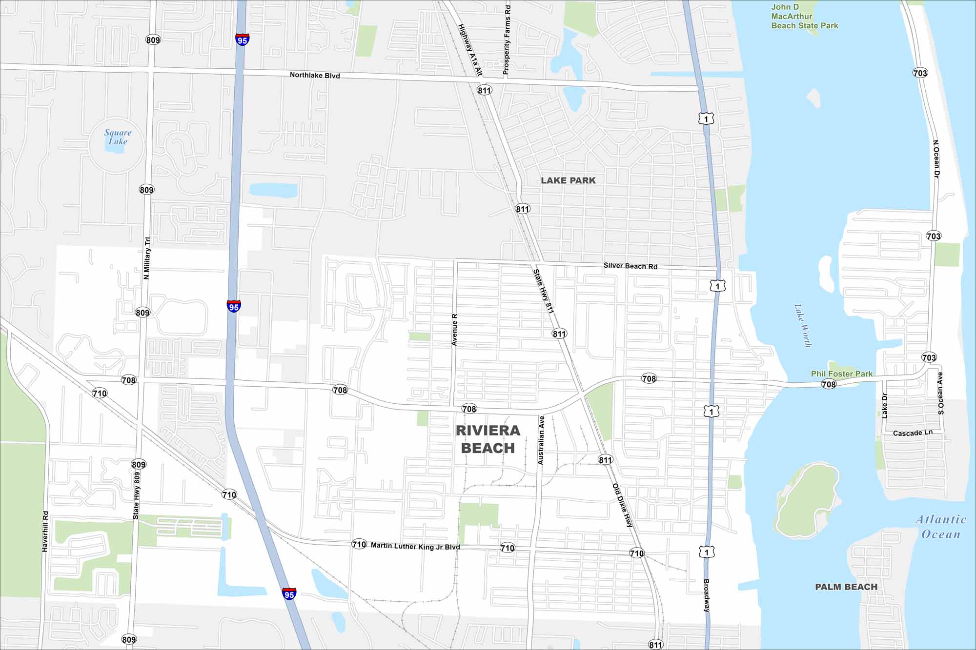
Our map of Riviera Beach shows the shoreline and the neighborhoods tucked just inland. It’s easy to spot Singer Island and follow the main streets leading downtown.
Florida State Maps
Discover Florida through our state maps


Map Information
On the Map
Interstates/Highways: I-95, US Hwy 1, State Rte 710, State Rte 809, State Rte 811, State Rte 708, State Rte 703 Major Roads: Broadway, Blue Heron Blvd, Military Trl, Australian Ave, Old Dixie Hwy, Avenue R, Silver Beach Rd, Northlake Blvd, Martin Luther King Jr Blvd, Garden Rd, Prosperity Farms Rd, Highway A1A Alt, Ocean Dr, West Blue Heron Blvd, Lake Dr, Cascade Ln, Shore Dr, Congress Ave, Haverhill Rd Lakes and Reservoirs: Atlantic Ocean, Lake Worth, Square Lake Parks and Preserves: Phil Foster Park, John D MacArthur Beach State Park Nearby Communities: Lake Park, Palm BeachFlorida City Maps
Chart your course through Miami and Florida’s cities


