Map of Riverview, Michigan
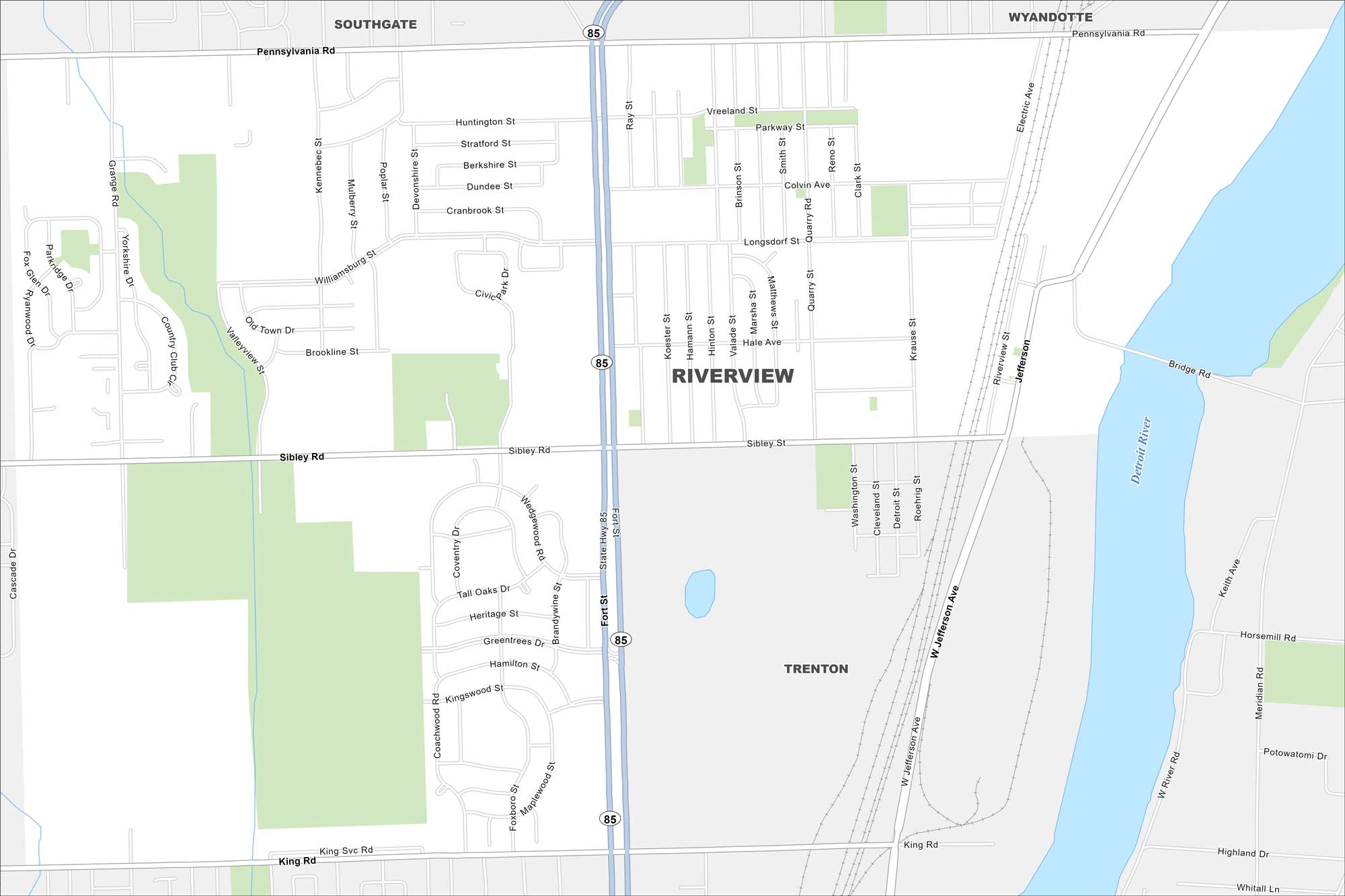
Here’s a map of Riverview, situated along the Detroit River. You can see the waterfront, neighborhoods, and main streets that define the city.
Map Information
On the Map
Interstates/Highways: State Rte 85 Major Roads: Fort St, Sibley Rd, Pennsylvania Rd, Jefferson Ave, West Jefferson Ave, King Rd, Vreeland St, Longsdorf St, Grange Rd, Coachwood Rd, Ray St, Quarry Rd, Matthews St, Marsha St, Smith St, Reno St, Clark St, Electric Ave, Riverview St, Meridian Rd Major Rivers: Detroit River Nearby Communities: Southgate, Wyandotte, TrentonMichigan State Maps
Get to know Michigan with our detailed maps


City Maps of Michigan
Check out our maps of Detroit and other cities in Michigan


