Puerto Rico and Virgin Islands Territory Acquisition Map
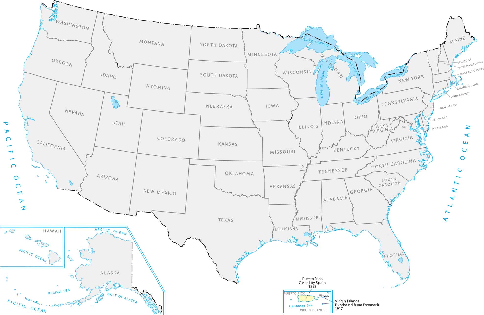
These Caribbean islands became US territories after a war with Spain and a purchase from Denmark. Puerto Rico and the Virgin Islands are tropical island chains way down in the Atlantic. Although they’re nowhere near the mainland, it gave America control over important shipping lanes in the Caribbean.
Map Information
Country Maps
Explore the geography that defines this nation.


