Map of Plattsburgh, New York
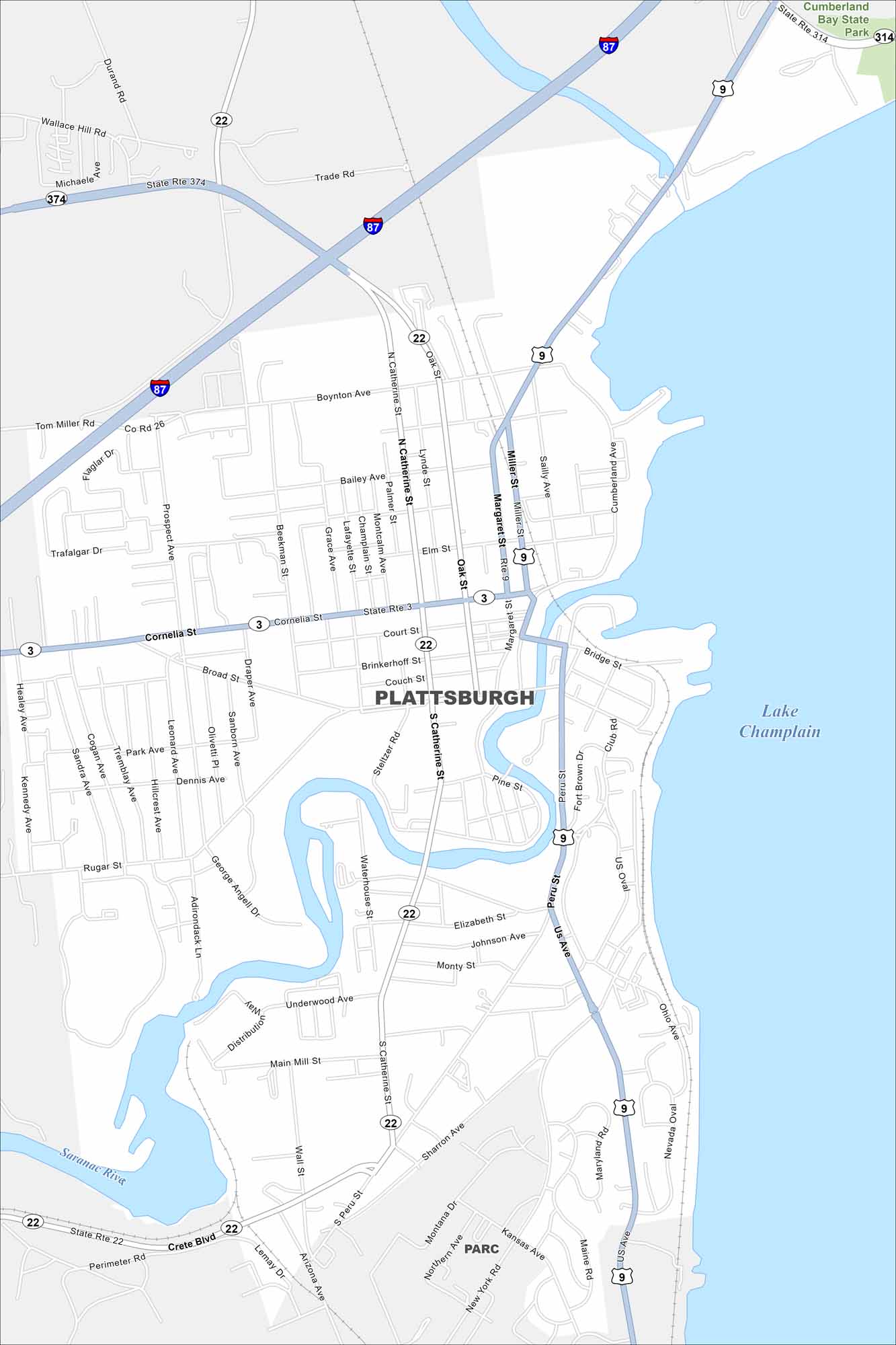
Plattsburgh sits on the western shore of Lake Champlain. This map shows its waterfront, marinas, and grid of downtown streets. The city has long been a gateway to both the Adirondacks and Canada.
Map Information
On the Map
Interstates/Highways: I-87, US Hwy 9, State Rte 3, State Rte 22, State Rte 314, State Rte 374 Major Roads: Cornelia St, Broad St, Catherine St, Margaret St, Peru St, Oak St, Boynton Ave, Miller St, Cumberland Ave, Couch St, Court St, Brinkerhoff St, Rugar St, Main Mill St, South Peru St, New York Rd, Sharron Ave, Trade Rd, Tom Miller Rd, Wallace Hill Rd Lakes and Reservoirs: Lake Champlain Major Rivers: Saranac River Parks and Preserves: Cumberland Bay State Park Nearby Communities: ParcNew York State Maps
Find state maps of the Empire State.


City Maps of New York
Here are the city maps that define New York


