Map of Plant City, Florida
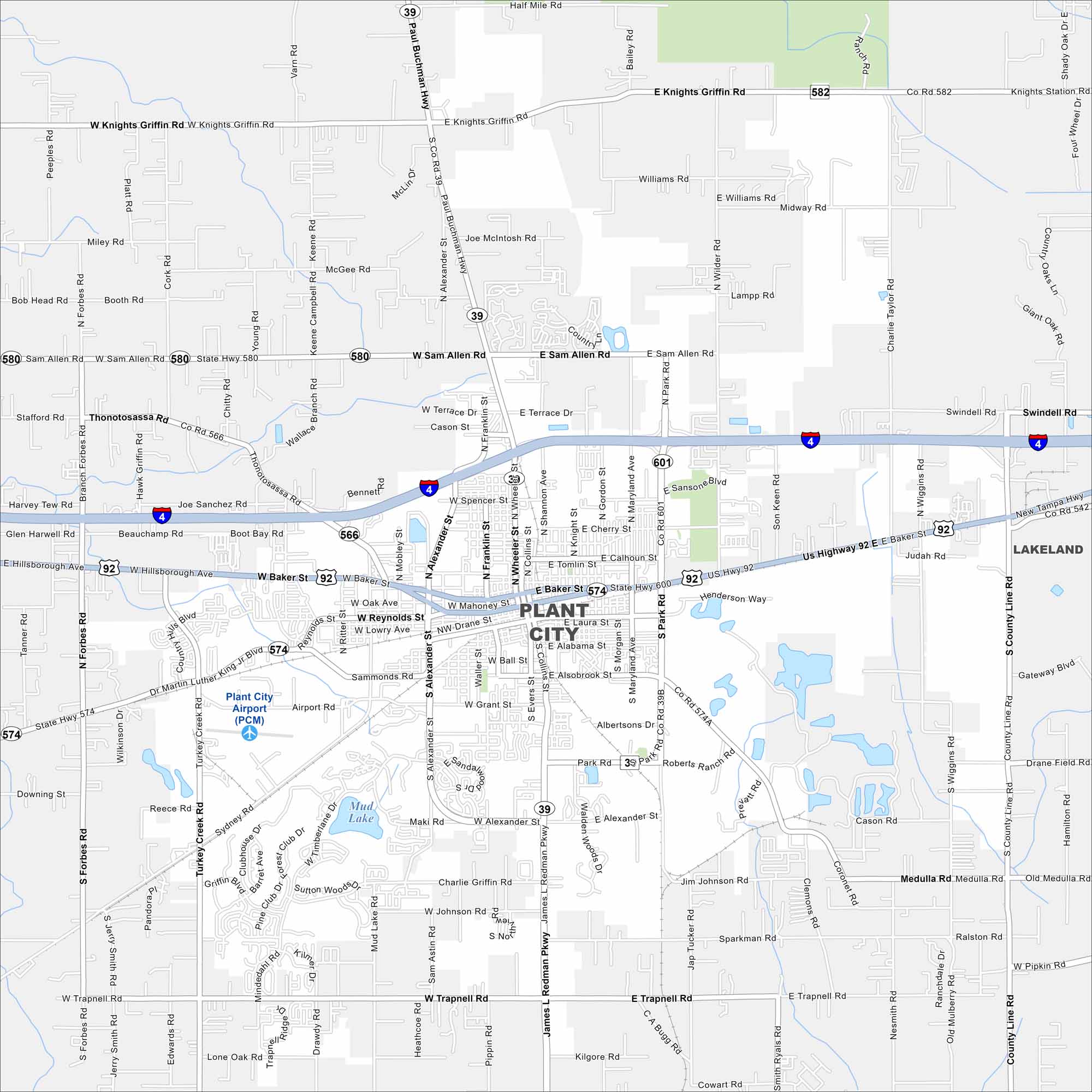
Plant City is famous for strawberries and farmland surrounding its core. Take a look at this map to see its roads spreading out through open countryside. Each spring, the Florida Strawberry Festival draws huge crowds.
Florida State Maps
Discover Florida through our state maps


Map Information
On the Map
Interstates/Highways: I-4, US Hwy 92, State Rte 39, State Rte 574, State Rte 580, State Rte 582, State Rte 600, State Rte 601 Major Roads: Baker St, Alexander St, Reynolds St, James L Redman Pkwy, Trapnell Rd, Knights Griffin Rd, Sam Allen Rd, Thonotosassa Rd, Alexander St, Wheeler St, Collins St, Park Rd, County Line Rd, Dr Martin Luther King Jr Blvd, Mud Lake Rd, Medulla Rd, Charlie Taylor Rd, Wilder Rd Airports: Plant City Airport (PCM) Lakes and Reservoirs: Mud Lake Nearby Communities: LakelandFlorida City Maps
Chart your course through Miami and Florida’s cities


