Map of Pinellas Park, Florida
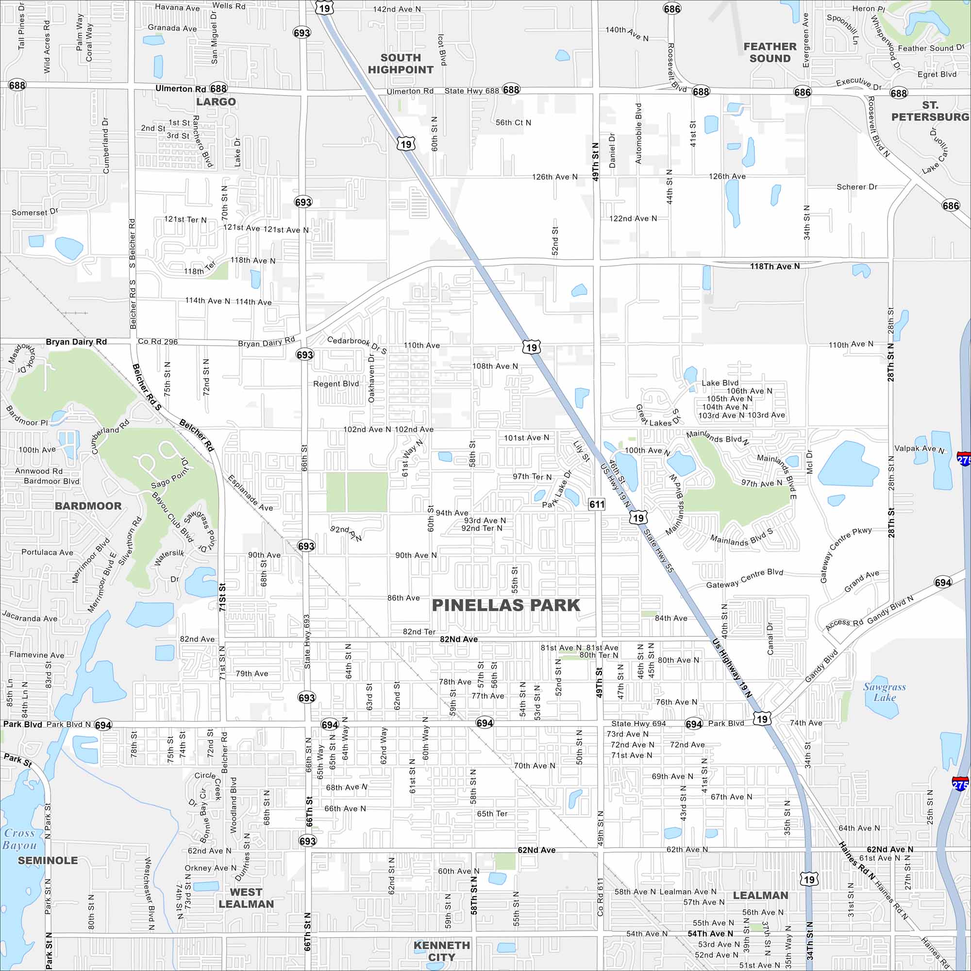
Our map of Pinellas Park shows a central location in Pinellas County. It’s a suburban city with easy routes to both Tampa Bay and the Gulf beaches. Local festivals and equestrian events add to its character.
Florida State Maps
Discover Florida through our state maps


Map Information
On the Map
Interstates/Highways: I-275, US Hwy 19, State Rte 55, State Rte 611, State Rte 686, State Rte 688, State Rte 693, State Rte 694 Major Roads: Park Blvd, Ulmerton Rd, Bryan Dairy Rd, Belcher Rd, Gandy Blvd, Roosevelt Blvd, Haines Rd, 49th St, 66th St, 28th St, Mainlands Blvd, Gateway Centre Blvd, Bryan Dairy Rd, 118th Ave, 126th Ave, 102nd Ave, 70th Ave, 62nd Ave Lakes and Reservoirs: Sawgrass Lake, Lake Blvd, Cross Bayou Nearby Communities: Largo, Seminole, Kenneth City, Lealman, West Lealman, South Highpoint, Feather Sound, St. PetersburgFlorida City Maps
Chart your course through Miami and Florida’s cities


