Map of Pinecrest, Florida
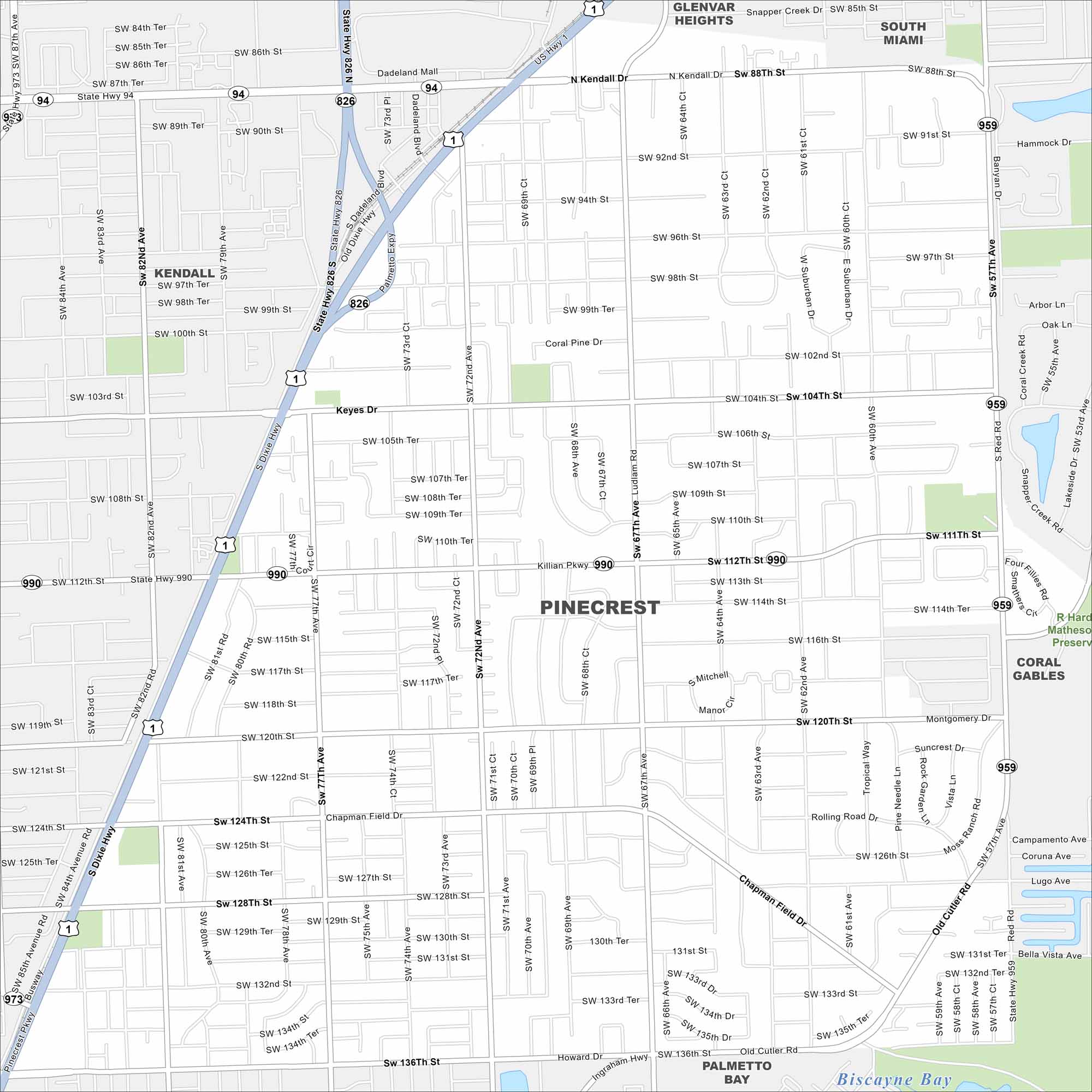
Pinecrest lies just south of Miami with leafy streets and large homes. Our map highlights its parks and easy access to major highways. The village is known for its family-friendly, suburban feel.
Florida State Maps
Discover Florida through our state maps


Map Information
On the Map
Interstates/Highways: US Hwy 1, State Rte 826, State Rte 94, State Rte 959, State Rte 973, State Rte 990, Dixie Hwy Major Roads: Kendall Dr, Killian Pkwy, Palmetto Expy, Old Cutler Rd, Chapman Field Dr, Red Rd, Ludlam Rd, Ingraham Hwy, Suncrest Dr, Rolling Road Dr, Montgomery Dr, Mitchell Manor Dr, Coral Pine Dr, Keyes Dr Lakes and Reservoirs: Biscayne Bay Parks and Preserves: R Hardy Matheson Preserve Nearby Communities: Kendall, South Miami, Coral Gables, Palmetto Bay, Glenvar HeightsFlorida City Maps
Chart your course through Miami and Florida’s cities


