Map of Panama City Beach, Florida
Panama City Beach runs along the Gulf Coast with miles of white sand. Our map outlines beachfront streets and piers. Tourism drives nearly everything here.
Florida State Maps
Discover Florida through our state maps


Map Information
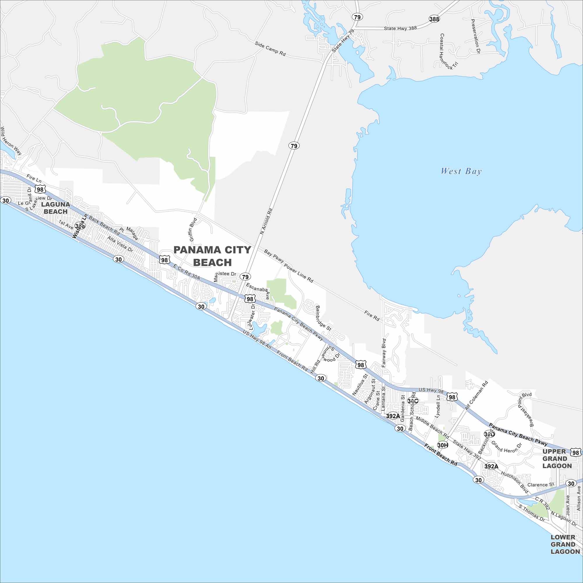
On the Map
Interstates/Highways: US Hwy 98, State Rte 30, State Rte 30A, State Rte 79, State Rte 388, State Rte 392, State Rte 392A Major Roads: Front Beach Rd, Panama City Beach Pkwy, Middle Beach Rd, Thomas Dr, Alf Coleman Rd, Hutchison Blvd, Hill Rd, Nautilus St, Lyndell Ln, Joan Ave, Allison Ave, Clarence St, Beach School Rd, Richard Jackson Blvd, Escanaba Ave, North Arnold Rd, Power Line Rd, Bay Pkwy, Griffin Blvd Lakes and Reservoirs: West Bay Nearby Communities: Laguna Beach, Upper Grand Lagoon, Lower Grand LagoonFlorida City Maps
Chart your course through Miami and Florida’s cities


