Map of Palm Springs, Florida
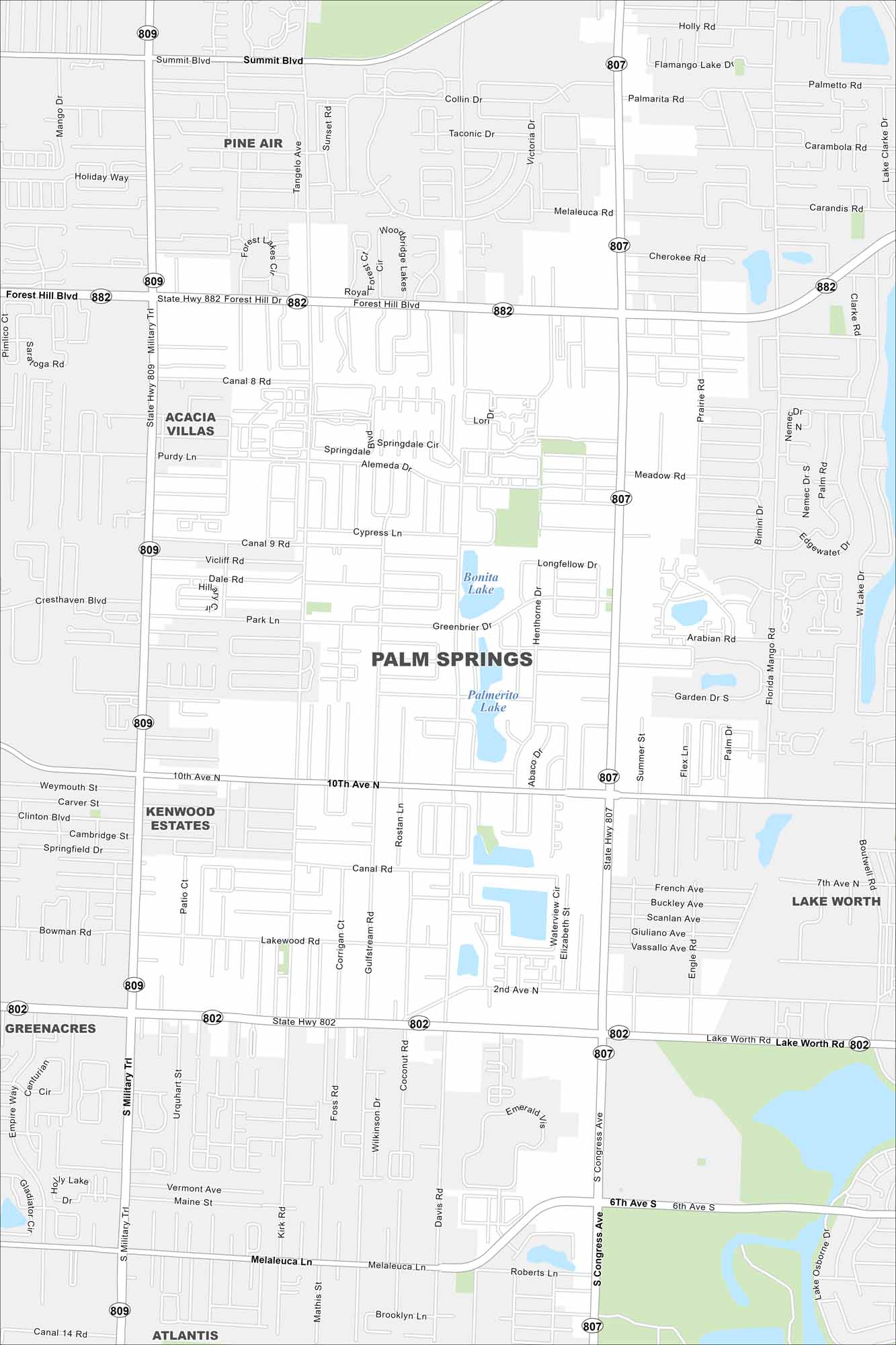
Palm Springs sits inland from West Palm Beach. Our map highlights suburban neighborhoods and nearby lakes. It’s a small, quiet community within Palm Beach County.
Florida State Maps
Discover Florida through our state maps


Map Information
On the Map
Interstates/Highways: State Rte 802, State Rte 807, State Rte 809, State Rte 882 Major Roads: Forest Hill Blvd, Lake Worth Rd, Military Trl, Congress Ave, Summit Blvd, 10th Ave N, 2nd Ave N, Purdy Ln, Kirk Rd, Davis Rd, Florida Mango Rd, Melaleuca Ln, Main St, Vermont Ave, Lakewood Rd, 7th Ave N Lakes and Reservoirs: Palmerito Lake Nearby Communities: Pine Air, Acacia Villas, Kenwood Estates, Greenacres, Atlantis, Lake WorthFlorida City Maps
Chart your course through Miami and Florida’s cities


