Oregon Territory 1846 Map
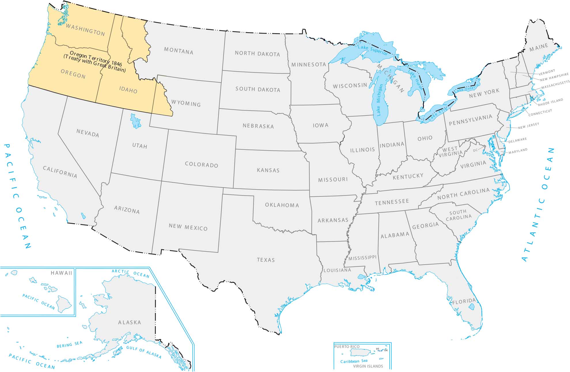
The US and Britain split up the Pacific Northwest in 1846. This means that America acquired everything below that straight 49th parallel line. This gave the US states like Oregon and Washington. Our Oregon Territory 1846 map shows how it links the Pacific Coast all the way to the Rockies.
Map Information
Country Maps
Explore the geography that defines this nation.


