Map of North Tonawanda, New York
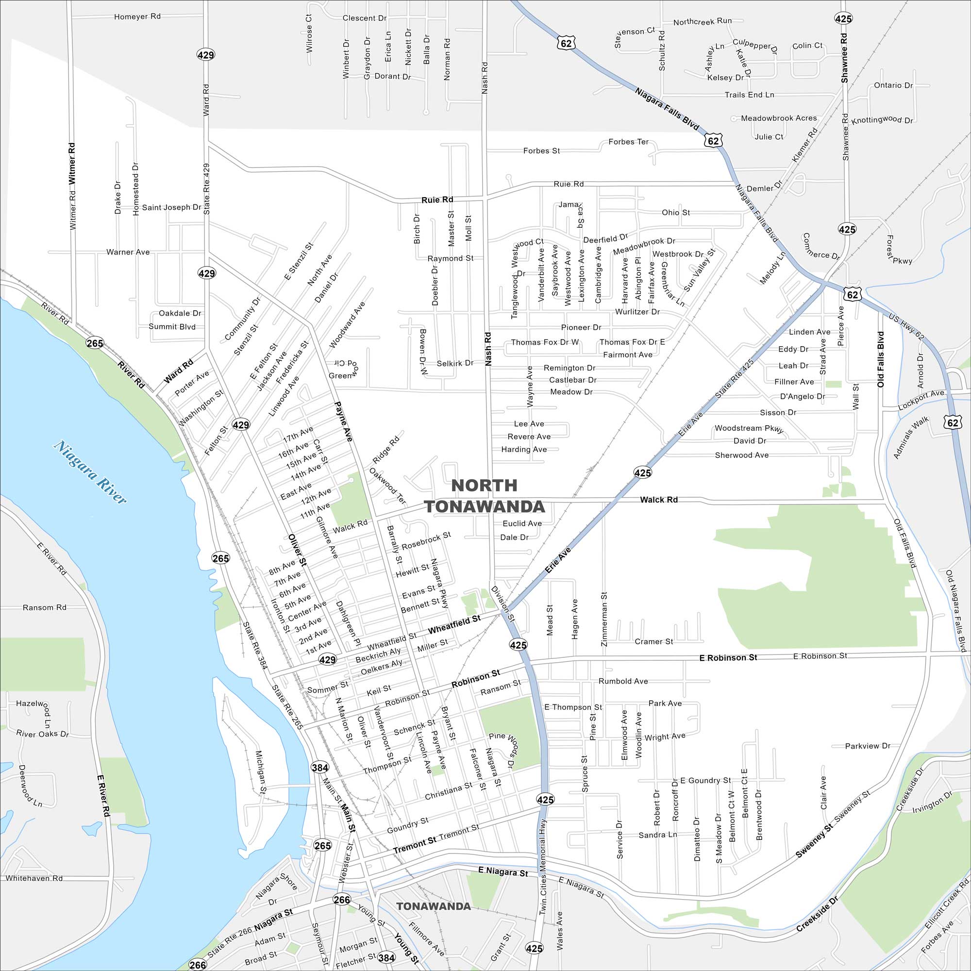
North Tonawanda sits along the Niagara River between Buffalo and Niagara Falls. Our map shows a compact downtown and neighborhoods along the water. The Erie Canal meets the river here.
Map Information
On the Map
Interstates/Highways: US Hwy 62, State Rte 265, State Rte 266, State Rte 384, State Rte 425, State Rte 429 Major Roads: Niagara Falls Blvd, Ward Rd, Erie Ave, Twin Cities Memorial Hwy, Division St, Payne Ave, Robinson St, Oliver St, Walck Rd, Ruie Rd, Forbes St, Wurlitzer Dr, Pioneer Dr, Fairmont Ave, Wheatfield St, Tremont St, Main St, Webster St, Goundry St, Sweeney Dr Major Rivers: Niagara RiverNew York State Maps
Find state maps of the Empire State.


City Maps of New York
Here are the city maps that define New York


