Satellite Map of Nevada
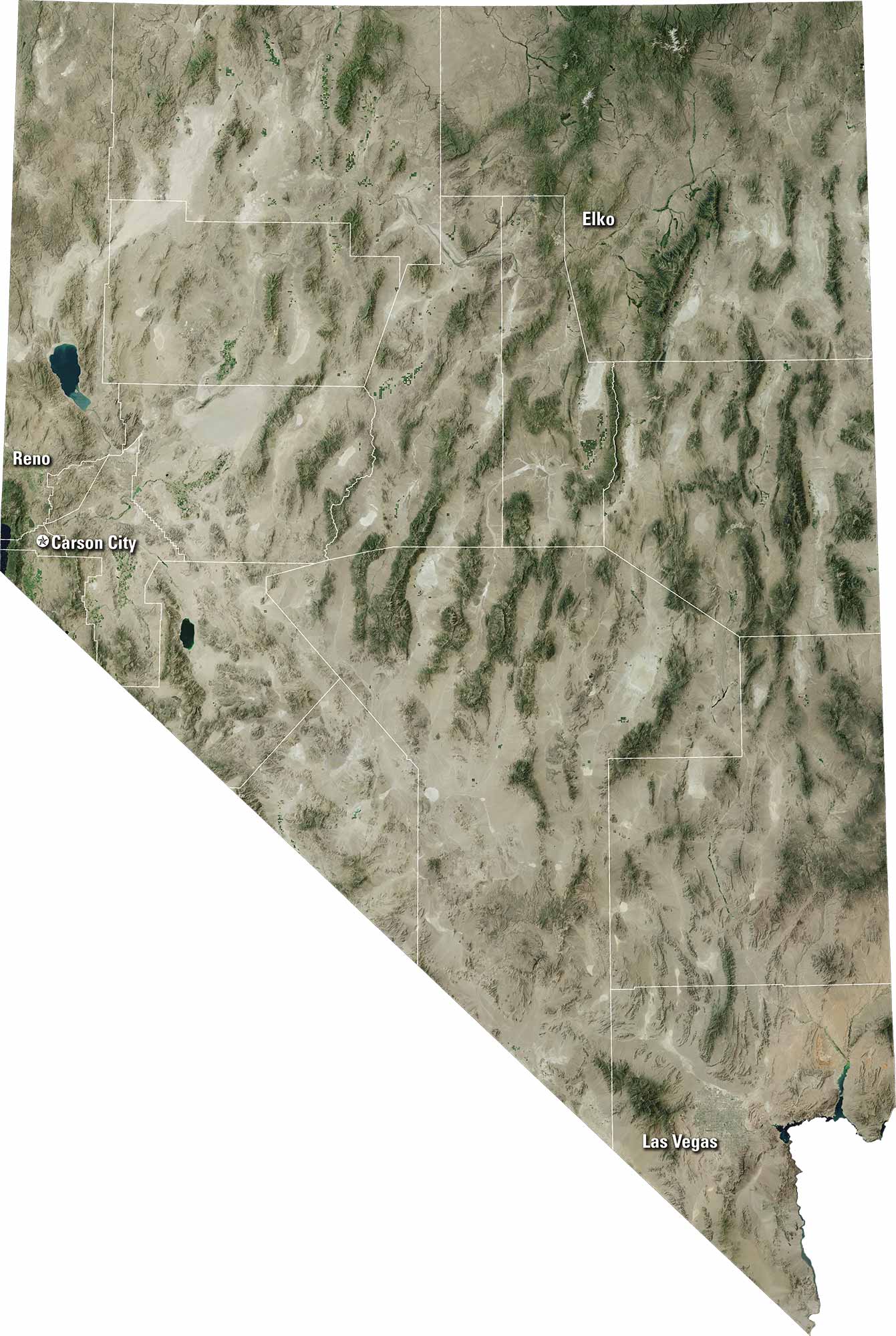
Nevada looks vast from above, with deserts and mountain ranges. Our satellite map shows Las Vegas in the south. Picture it glowing brightly at night. Reno and Carson City stand out as key hubs. The Truckee and Humboldt Rivers trace quiet paths. It’s the best of both worlds with city lights and open wilderness.
Map Information
On the Map
Neighboring State Maps
Find satellite map of neighboring states


