Map of Mount Vernon, New York
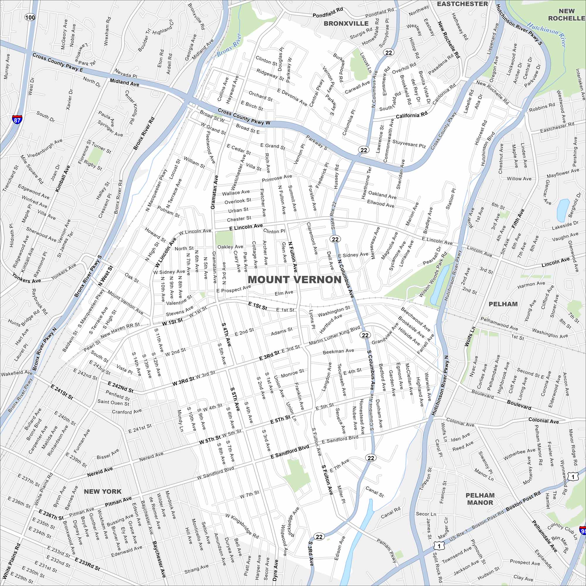
Mount Vernon lies just north of the Bronx. Our map shows a dense urban layout, with major rail lines cutting through. It’s one of the inner-ring suburbs of New York City.
Map Information
On the Map
Interstates/Highways: I-87, I-95, State Rte 22, State Rte 100, US Hwy 1 Major Roads: Cross County Pkwy, Hutchinson River Pkwy, Bronx River Pkwy, Gramatan Ave, Lincoln Ave, Columbus Ave, Sandford Blvd, 1st St, 3rd St, 4th Ave, Fulton Ave, Mundy Ln, Kingsbridge Rd, Pelham Pkwy, Boston Post Rd, North Ave, Main St, Prospect Ave, Yonkers Ave, Midland Ave Major Rivers: Bronx River, Hutchinson River Nearby Communities: Yonkers, Bronxville, Eastchester, New Rochelle, Pelham, Pelham Manor, New YorkNew York State Maps
Find state maps of the Empire State.


City Maps of New York
Here are the city maps that define New York


