Home » State Maps » Map of Missouri

Map of Missouri

Missouri Map

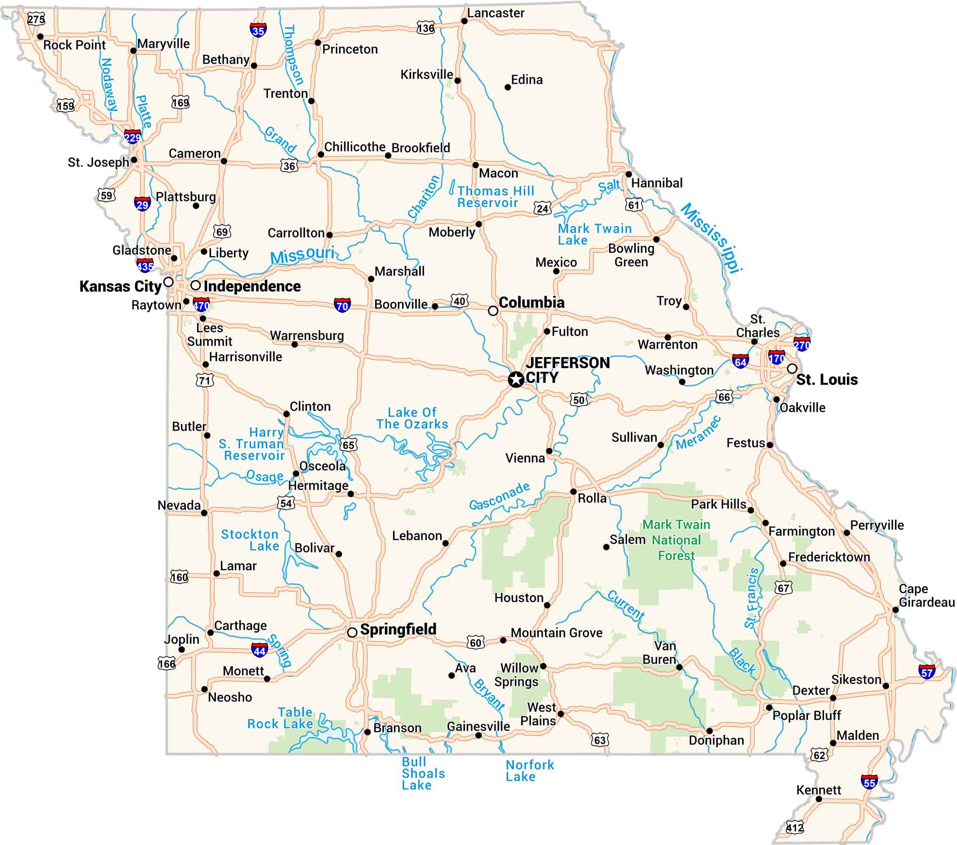
Missouri sits where the Midwest meets the South. Our map shows its rivers, highways, and growing cities like St. Louis and Kansas City. Hills roll through the Ozarks, while farmland stretches wide to the north. It’s a state built on movement. It’s steady, connected, and alive. But not necessarily in that order.
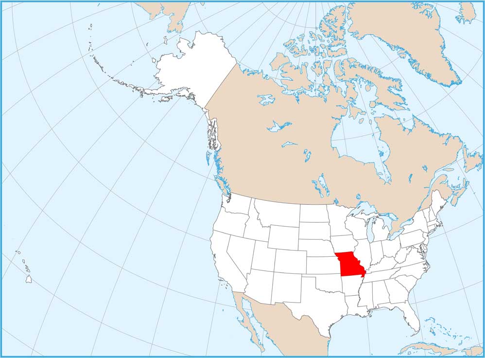
Map Information

  • State of Missouri
  • Road Map of Missouri
  • Free for personal and commercial purpose. Attribution is required. How to attribute?

On the Map

Missouri Location Map
State Capital: Jefferson City Major Cities: Independence, Kansas City, Springfield, St. Louis Cities and Towns: Ava, Belton, Bethany, Bolivar, Boonville, Bowling Green, Branson, Brookfield, Butler, Cameron, Cape Girardeau, Carrollton, Carthage, Chillicothe, Clinton, Columbia, Dexter, Doniphan, Edina, Farmington, Festus, Fredericktown, Fulton, Gainesville, Gladstone, Hannibal, Harrisonville, Hermitage, Houston, Joplin, Kennett, Kirksville, Lamar, Lancaster, Lebanon, Lees Summit, Liberty, Macon, Malden, Marshall, Maryville, Mexico, Moberly, Monett, Mountain Grove, Neosho, Nevada, Oakville, Osceola, Park Hills, Perryville, Plattsburg, Poplar Bluff, Princeton, Raytown, Rock Point, Rolla, Sikeston, St. Charles, St. Joseph, Sullivan, Trenton, Troy, Van Buren, Vienna, Warrensburg, Warrenton, Washington, West Plains, Willow Springs Interstate Highways: I-170, I-229, I-270, I-29, I-35, I-435, I-44, I-470, I-55, I-57, I-64, I-70 US Routes: US-136, US-159, US-160, US-166, US-169, US-24, US-275, US-36, US-40, US-412, US-50, US-54, US-59, US-60, US-61, US-62, US-63, US-65, US-66, US-67, US-71 Lakes and Reservoirs: Bull Shoals Lake, Harry S. Truman Reservoir, Lake of the Ozarks, Mark Twain Lake, Norfork Lake, Stockton Lake, Table Rock Lake, Thomas Hill Reservoir Rivers and Streams: Bryant River, Chariton River, Current River, Gasconade River, Grand River, Meramec River, Mississippi River, Missouri River, Nodaway River, Osage River, Platte River, Salt River, Spring River, St. Francis River, Thompson River National Parks and Forests: Mark Twain National Forest

Missouri City Maps

Here are our city maps for Missouri

References

  1. Government Website of Missouri
  2. Missouri in Google Maps

Leave a Reply

Your email address will not be published. Required fields are marked *