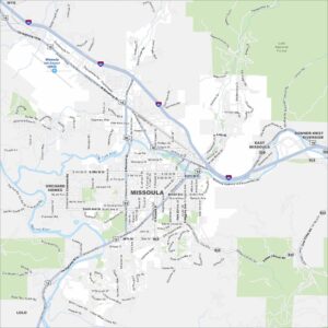
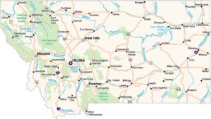
Map of Missoula, Montana
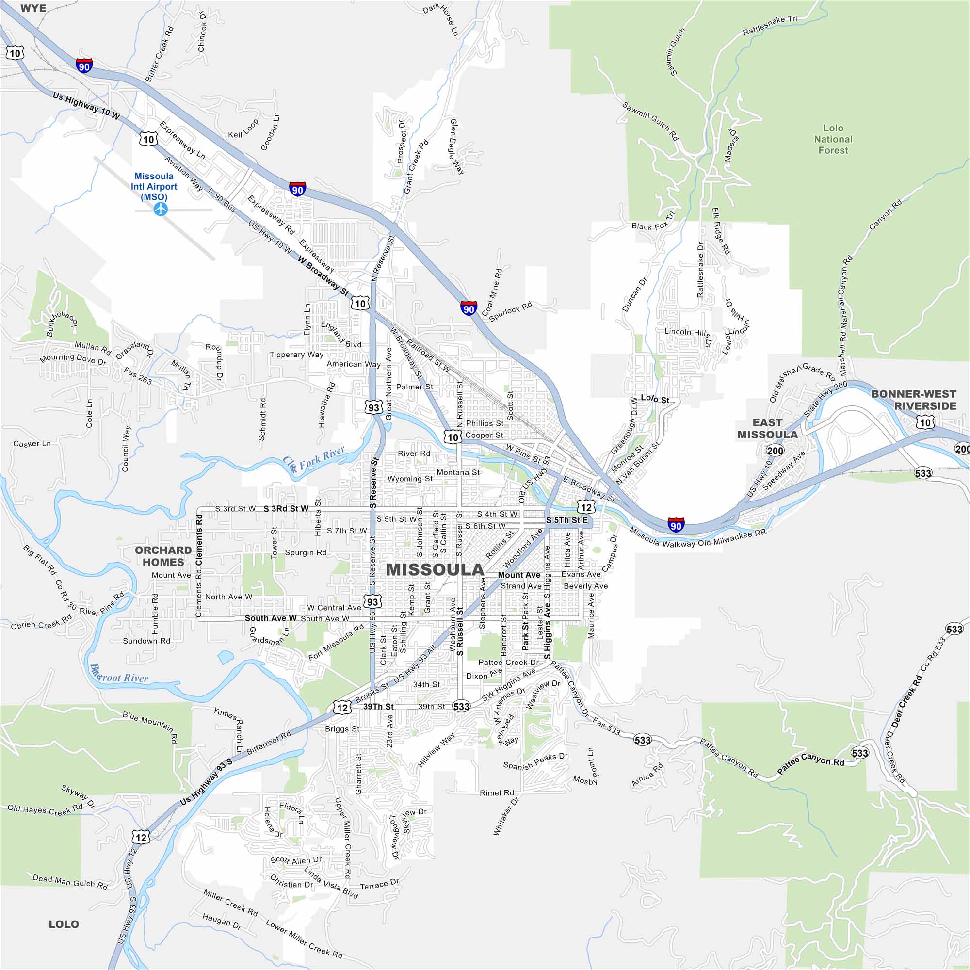
Missoula lies where five valleys meet. Our map shows the Clark Fork River winding through, with mountains enclosing the city. The University of Montana anchors its core.
Map Information
On the Map
Interstates/Highways: I-90, US Hwy 10, US Hwy 12, US Hwy 93, State Rte 200, State Rte 533 Major Roads: Broadway St, Main St, Reserve St, Brooks St, Russell St, Higgins Ave, Orange St, Arthur Ave, Stephens Ave, Mount Ave, South Ave, 3rd St, 39th St, Miller Creek Rd, Mullan Rd, Expressway, Blue Mountain Rd, Rattlesnake Tr, Lolo St, Van Buren St Airports: Missoula Intl Airport (MSO) Major Rivers: Clark Fork River, Bitterroot River Parks and Preserves: Lolo National Forest Nearby Communities: Wye, Orchard Homes, East Missoula, Bonner-West Riverside, LoloMontana State Maps
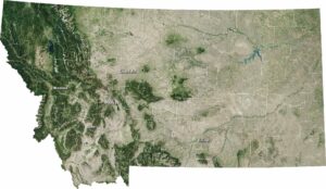
Wander through this wide-open state with our map collection.


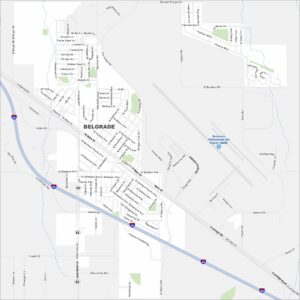
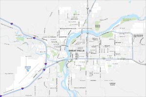
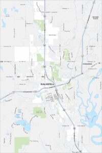
Montana City Maps
See our map collection of Billings and Montana cities