Map of Miami Lakes, Florida
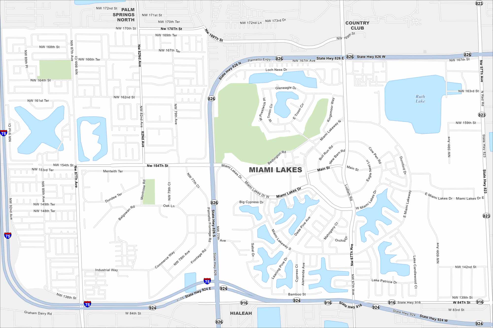
Explore the planned neighborhoods and lakes of Miami Lakes with our map. Curved streets and green spaces define its layout. Overall, it’s a master-planned suburb with a strong community feel.
Florida State Maps
Discover Florida through our state maps


Map Information
On the Map
Interstates/Highways: I-75, State Rte 826, State Rte 924, State Rte 823, State Rte 916, Palmetto Expy Major Roads: Miami Lakes Dr, NW 67th Ave, NW 57th Ave, NW 87th Ave, NW 82nd Ave, Main St, NW 154th St, Miami Lakeway N, Miami Lakeway S, NW 138th St, Ludlam Rd, Bull Run Rd, Commerce Way, Frontage Rd, Montrose Rd, Fairway Dr Lakes and Reservoirs: Ruth Lake Nearby Communities: Palm Springs North, Country Club, HialeahFlorida City Maps
Chart your course through Miami and Florida’s cities


