Wyoming Zip Code Map
Wyoming has 98 zip codes total. That’s it. Our zip code map of Wyoming shows how the least populous state needs the least postal areas.

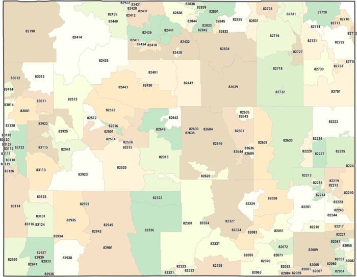
Wyoming has 98 zip codes total. That’s it. Our zip code map of Wyoming shows how the least populous state needs the least postal areas.
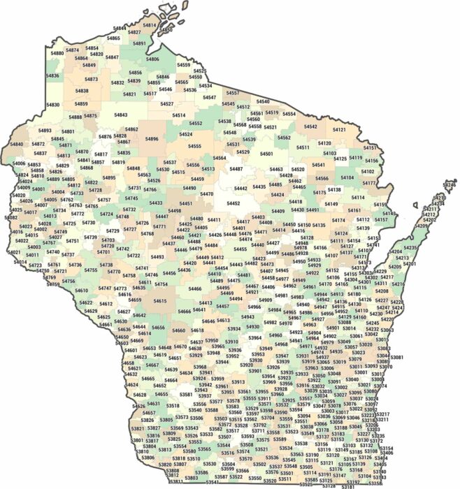
Green Bay, Madison, Milwaukee. Our zip code map shows how it clusters at cities and northern counties spread out much larger.
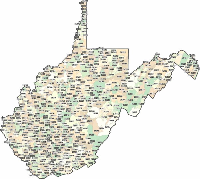
Our West Virginia zip code map highlights postal areas shaped by hills and valleys. Nothing spreads evenly here. Size varies constantly.
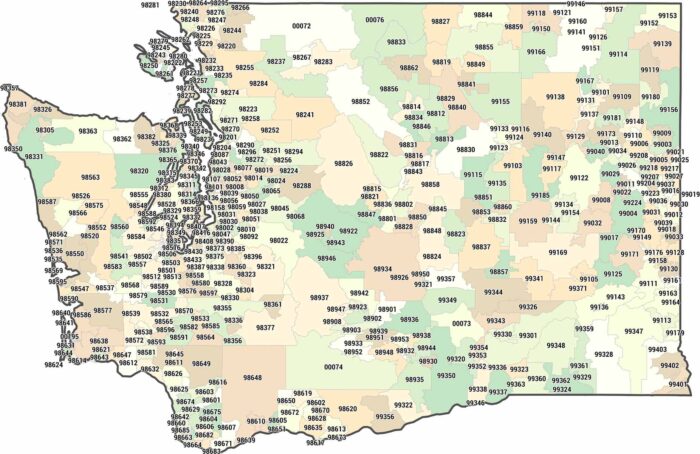
Two halves, one state. Our Washington zip code map shows how zip codes cluster west of the Cascades and expand sharply to the east.
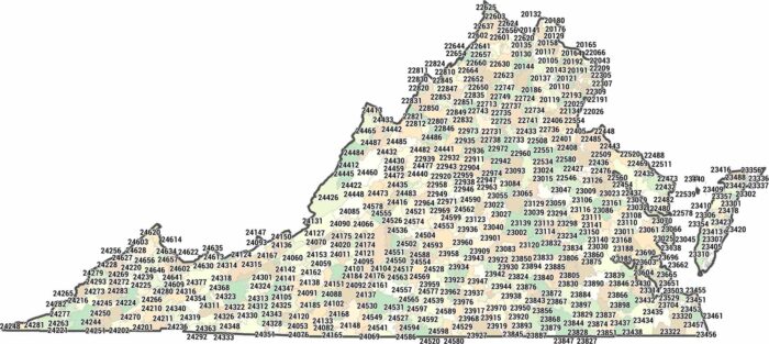
Our map of Virginia isn’t about roads or counties. We’ve mapped every zip code across the 201XX to 246XX range.
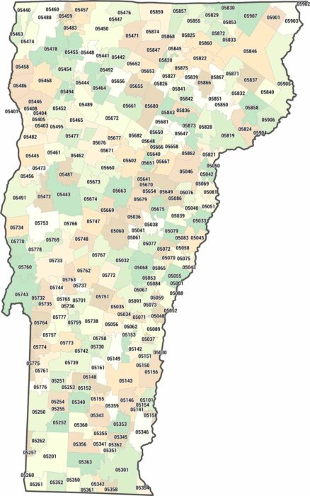
Vermont zip codes cover quiet, low-density regions. Our map highlights wide spacing between towns. Simplicity defines the layout here.
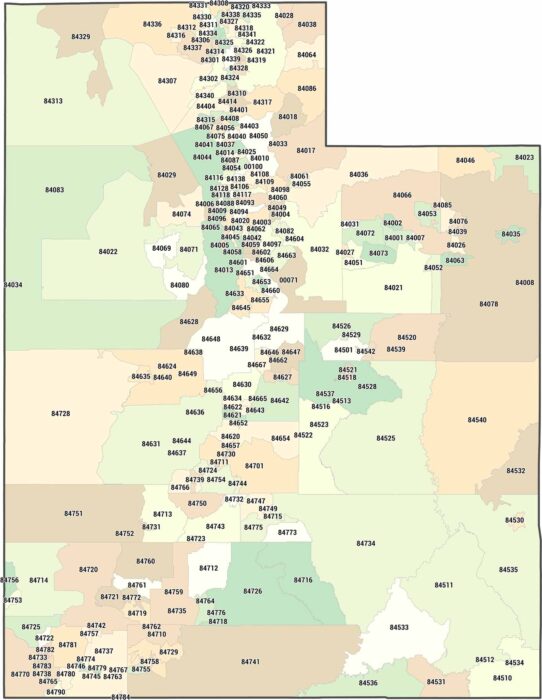
Utah zip codes cluster tightly along the Wasatch Front. Our Utah zip code map makes that concentration obvious.
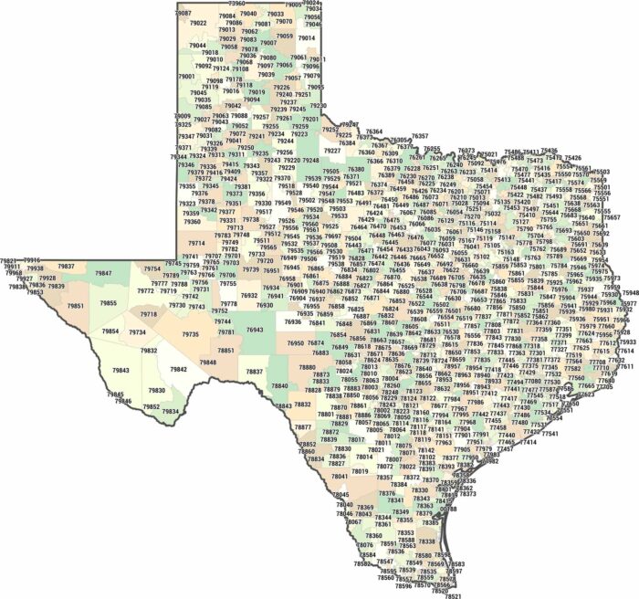
Texas zip codes mostly fall within the 750XX to 799XX range. Our Texas zip code map shows just how massive postal areas can be.
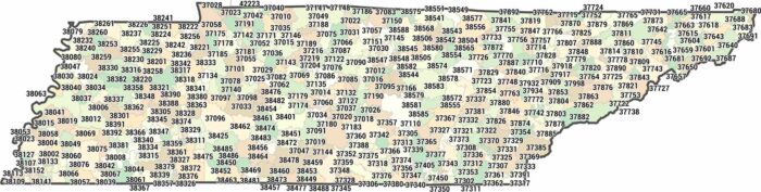
Tennessee zip codes range from 370XX to 385XX. Our Tennessee zip code map shows how postal boundaries change from east to west.
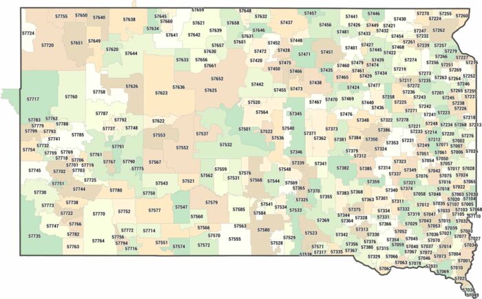
Our South Dakota zip code map covers 382 postal codes across the Great Plains and Badlands. Most zip codes cover a lot of land.
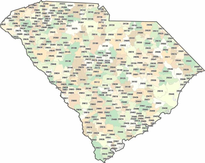
Our South Carolina zip code map shows postal boundaries from the Upstate to the coast. Zip codes generally range from 290XX to 299XX.
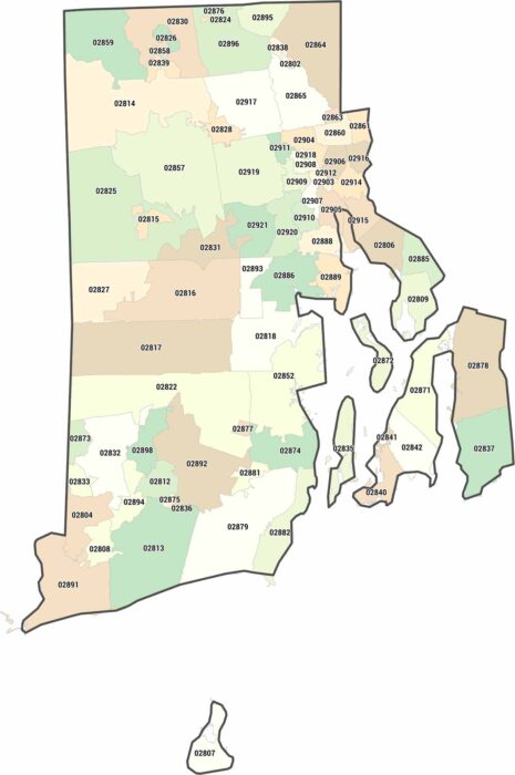
Rhode Island fits 80 zip codes into the smallest state. Our map shows how many postal boundaries fit into a very small space.
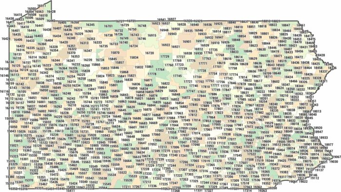
Looking for a Pennsylvania zip code map? Pennsylvania zip codes generally fall between 150XX and 196XX. See our map to find the one you need.
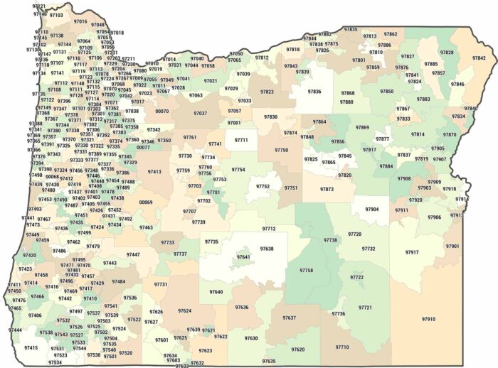
Most of Oregon’s zip codes squeeze into the narrow Willamette Valley corridor. Drive east and you’ll find zip codes spanning counties.
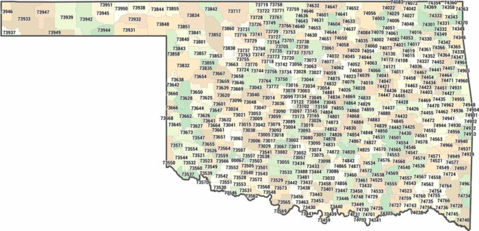
Looking for an Oklahoma zip code map? Our zip code map shows Oklahoma City and Tulsa containing the densest postal networks.