Map of Hialeah, Florida
Hialeah sits in South Florida, just northwest of Miami. Our map shows a dense grid of streets. Major highways cut across the city.
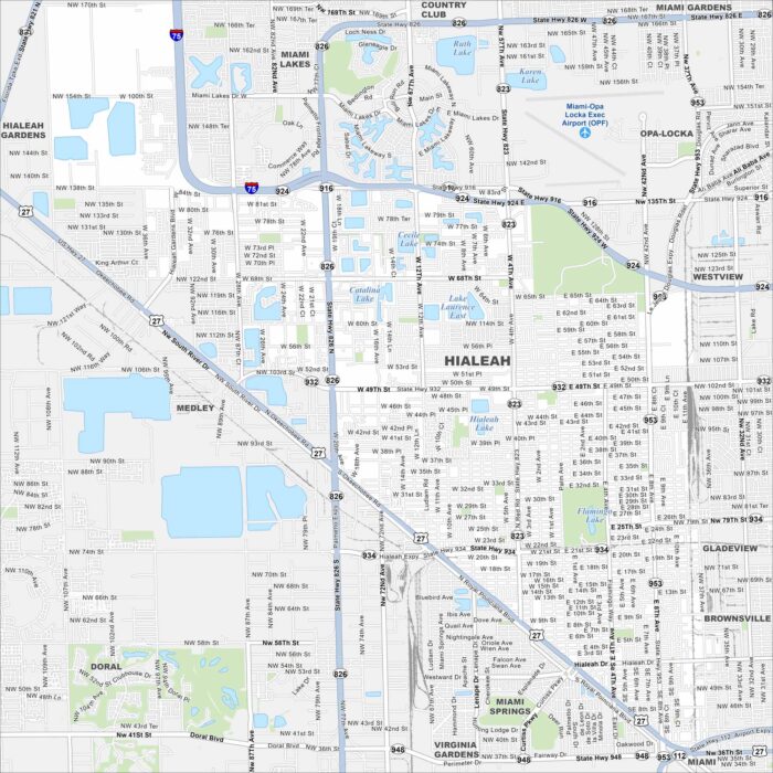
Hialeah sits in South Florida, just northwest of Miami. Our map shows a dense grid of streets. Major highways cut across the city.
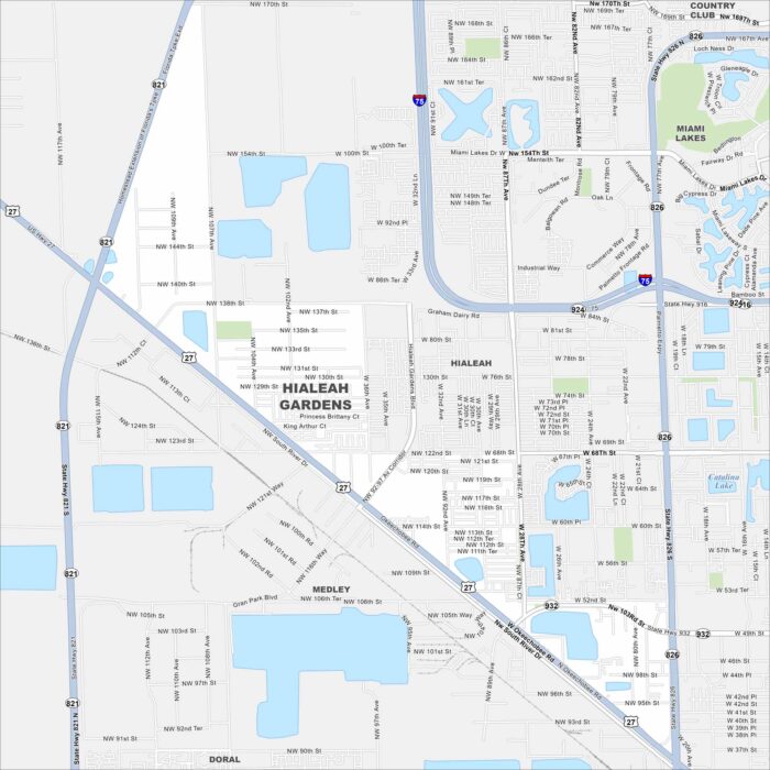
Our map of Hialeah Gardens highlights its position along the Palmetto Expressway (State Road 826). It borders Hialeah to the east. Canals and residential blocks are spread throughout. Map Information On the Map Interstates/Highways: I-75, US Hwy 27, State Rte 821, State Rte 826, State Rte 924, State Rte 932, Palmetto Expy Major Roads: Okeechobee…
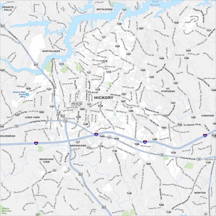
Hickory is in western North Carolina near Lake Hickory. Our map shows winding roads leading into the foothills.
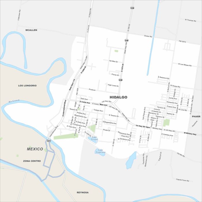
Check out our map of Hidalgo right on the US-Mexico border. The Rio Grande runs along its edge. Bridges link it directly to Reynosa, Mexico.
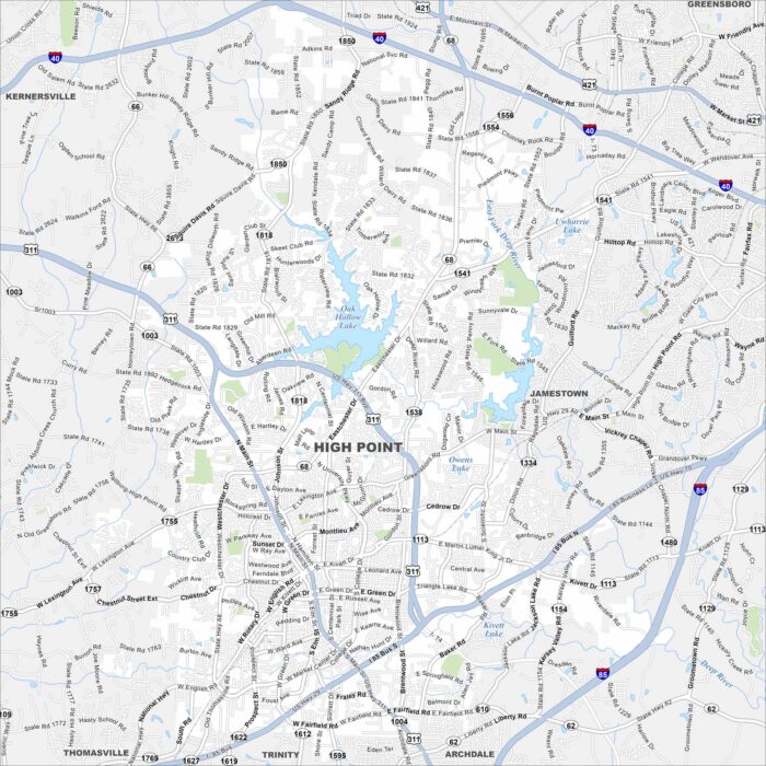
High Point is in central North Carolina between Greensboro and Winston-Salem. This map highlights highways and rivers crossing the city.
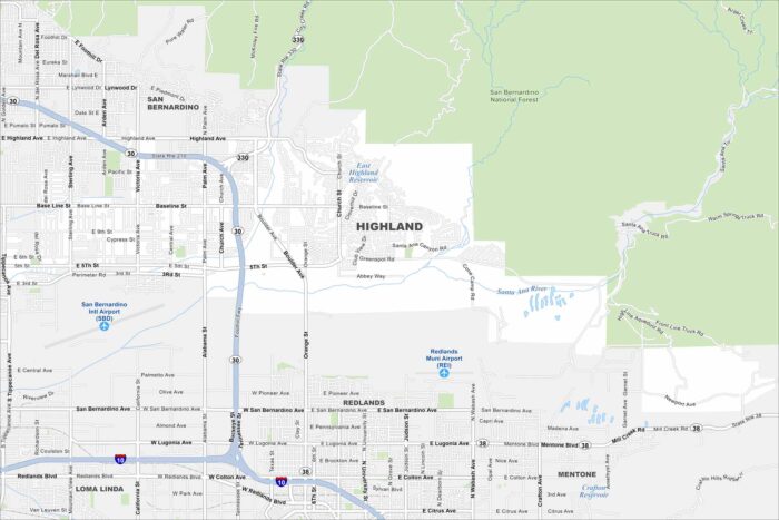
Explore our map of Highland in Southern California, which sits at the base of the San Bernardino Mountains.
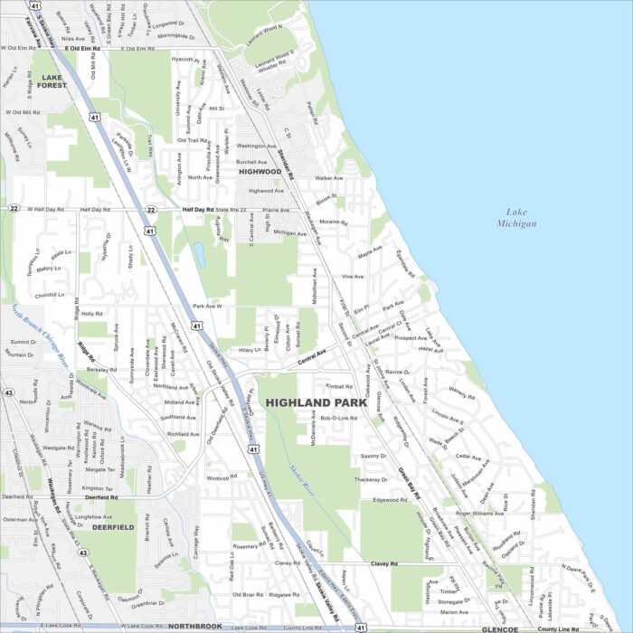
Highland Park lies on the shore of Lake Michigan north of Chicago. This map shows a mix of lakeshore and wooded areas.
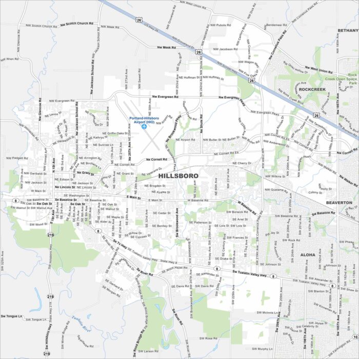
Hillsboro is in the Tualatin Valley just west of Portland. Our map shows farmland giving way to urban and built-up areas.
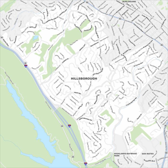
Our map of Hillsborough shows winding roads through wooded hills. It’s mostly residential, with large estates tucked between canyons.
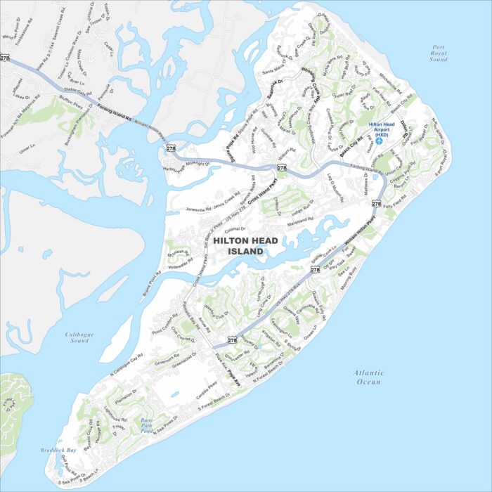
Explore our map of Hilton Head Island on the Atlantic coast. You’ll notice beaches, green spaces, and lagoons scattered across the island.
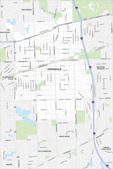
Hinsdale is a suburb west of Chicago. This map highlights its highways, roads and streams cutting through the village.
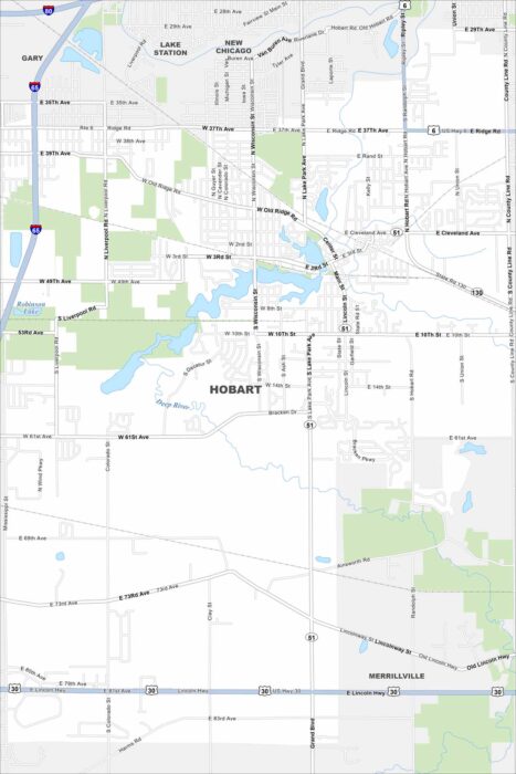
Our map of Hobart shows the downtown built around Lake George. Highways connect the city to nearby Gary and Chicago.
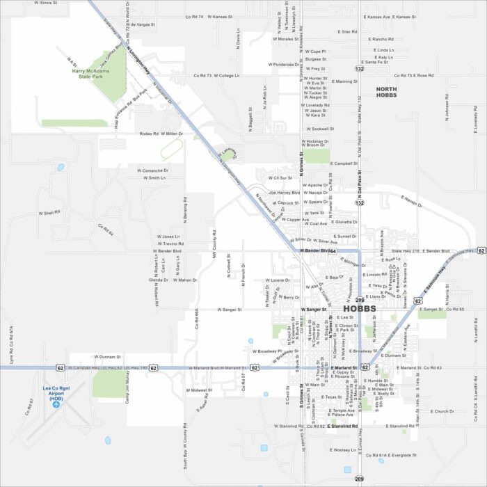
Check out our map of Hobbs near the Texas border. The grid of roads spreads into open plains and oil fields.
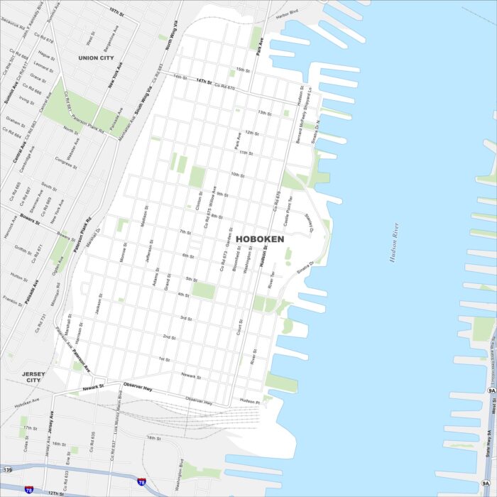
Hoboken is located on the west bank of the Hudson River across from Manhattan. Our map shows a tight street grid leading to the waterfront.
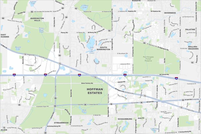
Our map of Hoffman Estates shows neighborhoods stretching along I-90 northwest of Chicago. Parks and forest preserves stand out quite a lot.