Map of Long Beach, New York
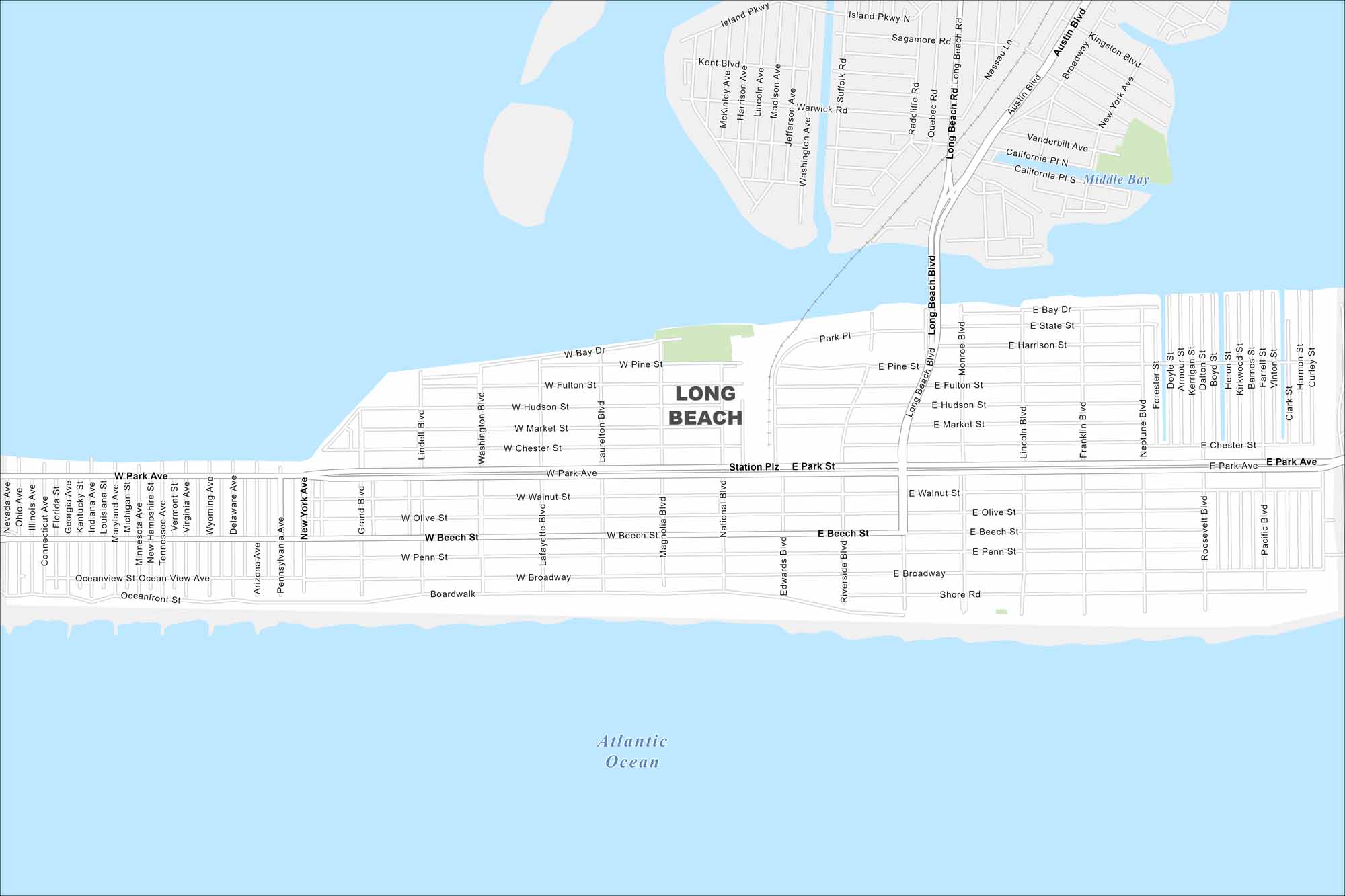
Take a look at Long Beach on a barrier island off Long Island’s south shore. The Atlantic Ocean lines its southern edge. Our map shows the Long Island Rail Road and Boulevard connection inland.
Map Information
On the Map
Major Roads: Long Beach Blvd, Park Ave, Beech St, Broadway, Shore Rd, Park Pl, Pine St, Fulton St, Hudson St, Market St, Chester St, Walnut St, Olive St, Penn St, Bay Dr, State St, Harrison St, Bay Dr, Neptune Blvd, Monroe Blvd Lakes and Reservoirs: Atlantic Ocean, Middle BayNew York State Maps
Find state maps of the Empire State.


City Maps of New York
Here are the city maps that define New York


