Map of Lockport, New York
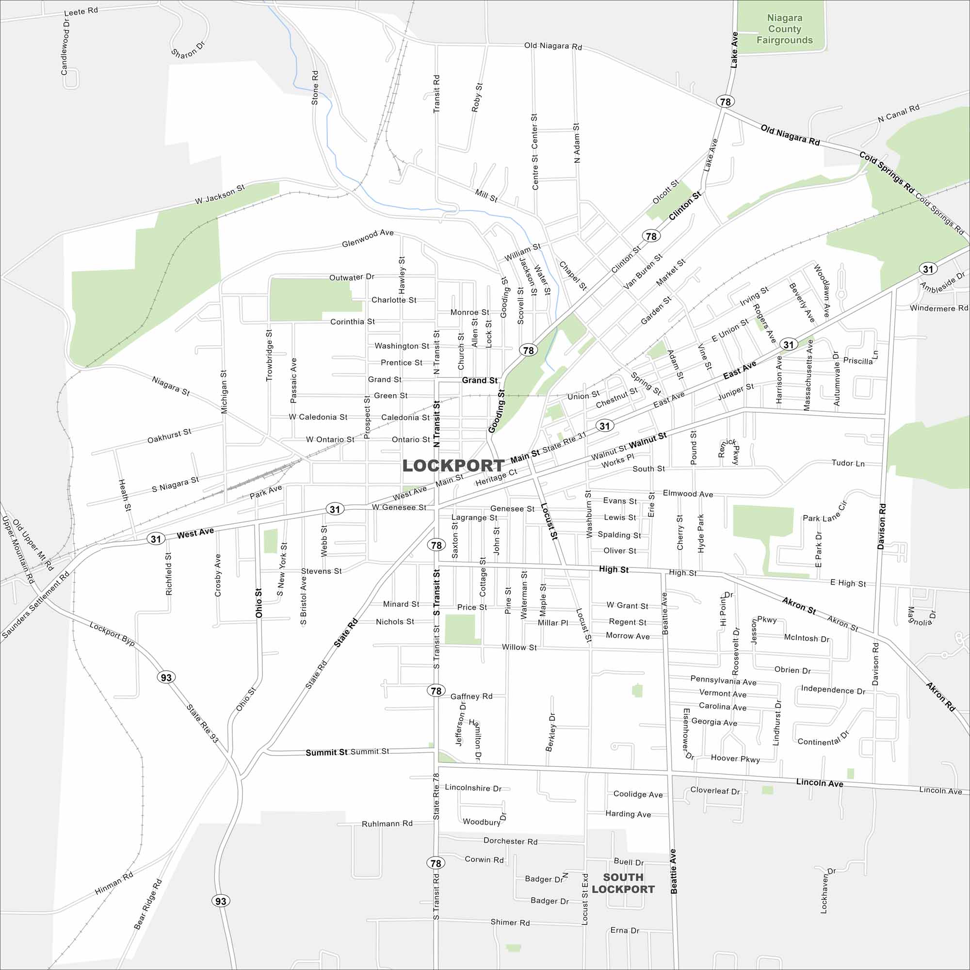
See Lockport on our map along the man-made Erie Canal. Highways connect it to Buffalo and Niagara Falls. The city’s canal locks mark its historic core.
Map Information
On the Map
Interstates/Highways: State Rte 78, State Rte 31, State Rte 93 Major Roads: Transit Rd, Main St, West Ave, Grand St, High St, Summit St, Lake Ave, Clinton St, Market St, Walnut St, Beattie Ave, Locust St, Gooding St, Michigan St, Ohio St, Akron St, Lincoln Ave, Old Niagara Rd, Saunders Settlement Rd, Upper Mt Rd Parks and Preserves: Niagara County Fairgrounds Nearby Communities: Lockport, South LockportNew York State Maps
Find state maps of the Empire State.


City Maps of New York
Here are the city maps that define New York


