Map of Lindenhurst, New York
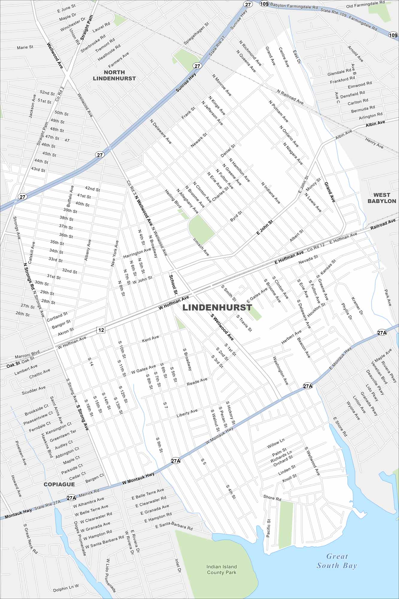
Our map of Lindenhurst places it on Long Island’s South Shore. Canals and waterways run through the village with parks scattered throughout. Sunrise Highway and the Long Island Rail Road connect it to the rest of the region.
Map Information
New York State Maps
Find state maps of the Empire State.


City Maps of New York
Here are the city maps that define New York


