Map of Lancaster, New York
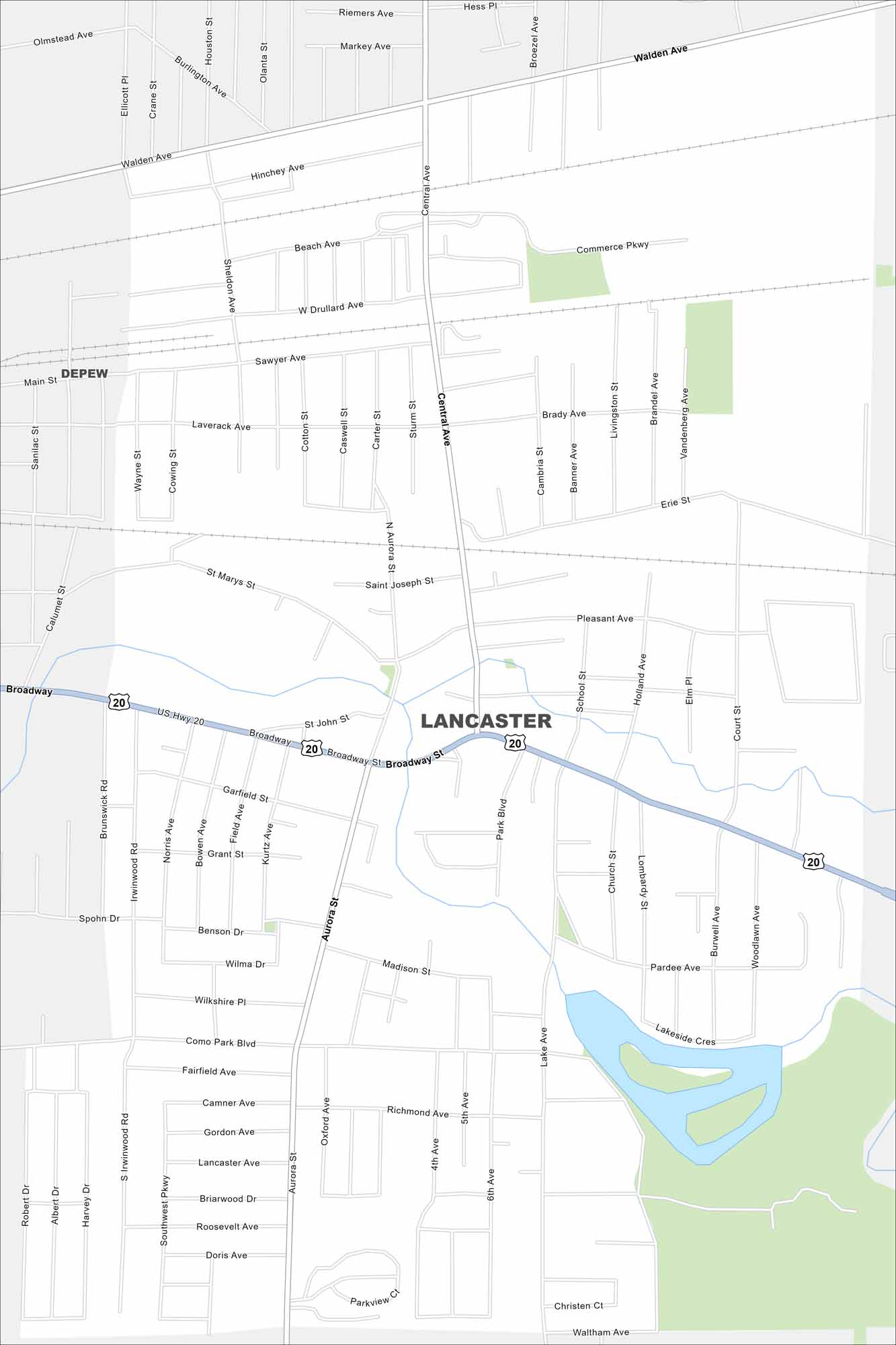
Find Lancaster just east of Buffalo, New York. This map shows Lancaster as a mix of old village streets and new subdivisions. Highways connect quickly back to the city.
Map Information
On the Map
Interstates/Highways: US Hwy 20 Major Roads: Broadway, Walden Ave, Central Ave, Aurora St, Transit Rd, Main St, Como Park Blvd, Bowen Rd, William St, Lake Ave, Pleasant Ave, St Johns St, St Marys St, Sawyer Ave, Hinchey Ave, Commerce Pkwy, Sheldon Ave, Penora St, Schwartz Rd, Stony Rd Nearby Communities: Depew, LancasterNew York State Maps
Find state maps of the Empire State.


City Maps of New York
Here are the city maps that define New York


