Map of Lakeland, Florida
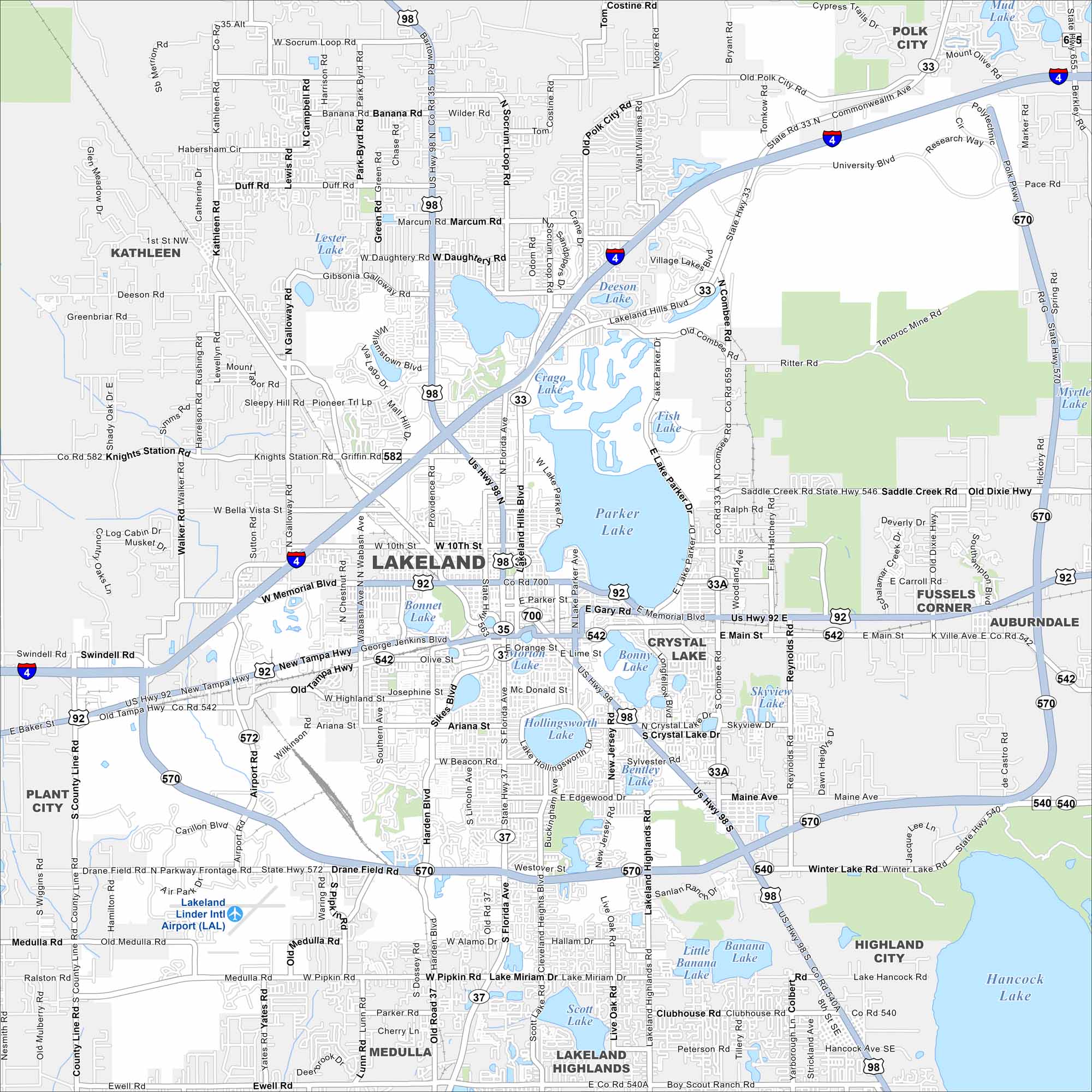
Our map of Lakeland shows its namesake. That’s right. Lakes are everywhere! The city spreads between Tampa and Orlando. Interstate 4 slices clean across.
Florida State Maps
Discover Florida through our state maps


Map Information
On the Map
Interstates/Highways: I-4, US Hwy 98, US Hwy 92, State Rte 570 Major Roads: Florida Ave, N Florida Ave, S Florida Ave, Memorial Blvd, W Memorial Blvd, E Memorial Blvd, Main St, W Main St, E Main St, 10th St, W 10th St, Bartow Rd, Kathleen Rd, Lakeland Highlands Rd, Airport Rd, Drane Field Rd, Edgewood Dr, Polk City Rd, Combee Rd, N Combee Rd Airports: Lakeland Linder Intl Airport (LAL) Lakes and Reservoirs: Parker Lake, Lake Parker, Hollingsworth Lake, Lake Hollingsworth, Morton Lake, Lake Morton, Mirror Lake, Lake Mirror, Bonnet Lake, Beulah Lake, Hunter Lake, Scott Lake, Crystal Lake, Bonny Lake, Banana Lake, Little Banana Lake, Hancock Lake, Crago Lake, Deeson Lake, Lester Lake Nearby Communities: Kathleen, Plant City, Medulla, Lakeland Highlands, Highland City, Fussels Corner, Auburndale, Polk CityFlorida City Maps
Chart your course through Miami and Florida’s cities


