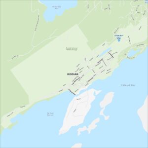
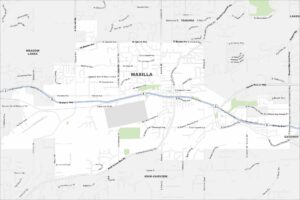
Map of Kodiak, Alaska
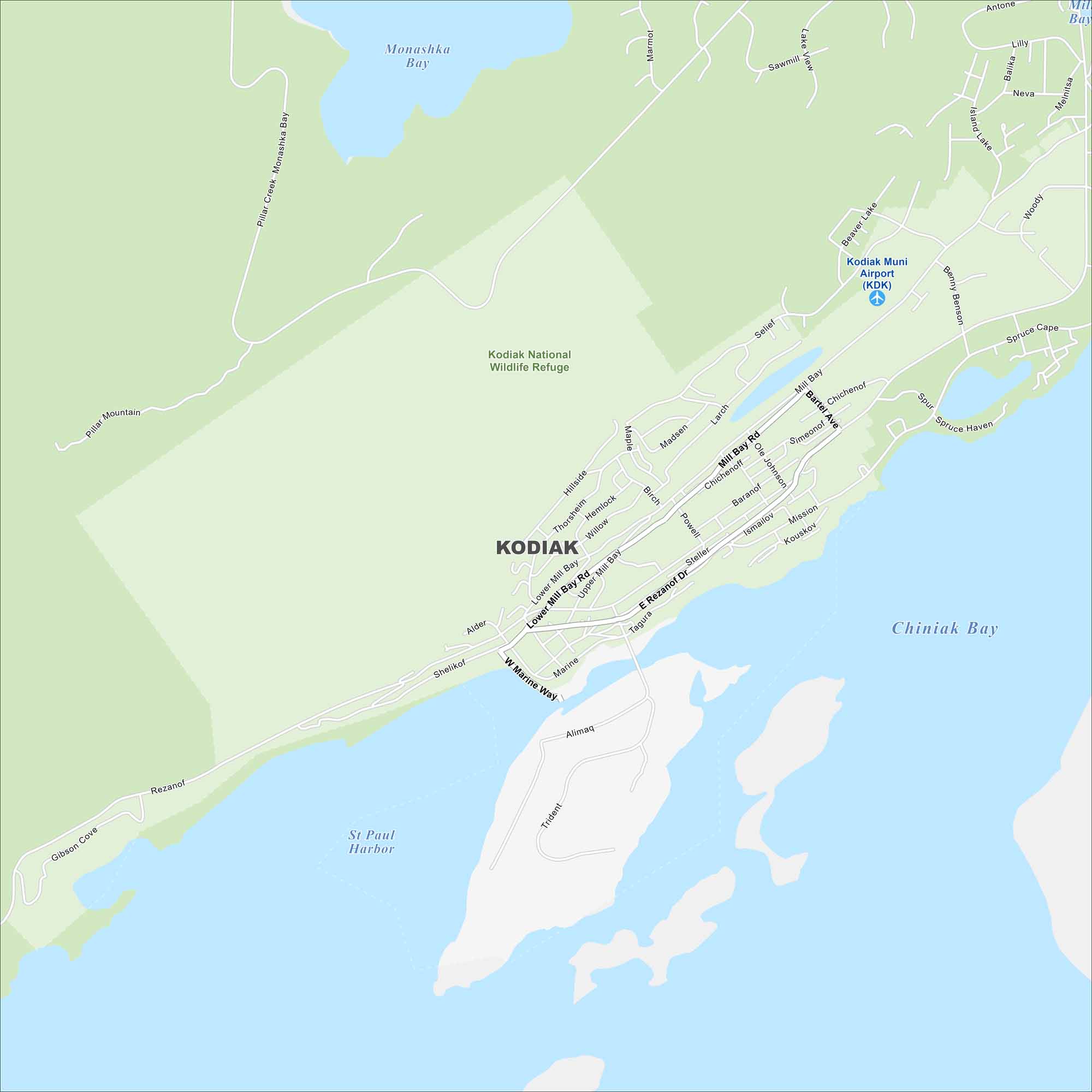
Kodiak is on an island in the Gulf of Alaska. Our map shows harbors and bays cutting into the coastline. Mountains dominate the northern half of the island.
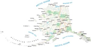
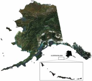
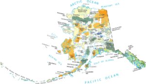
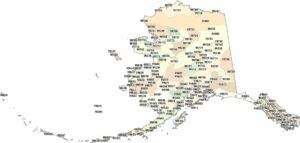
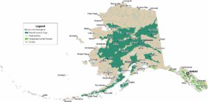
Alaska State Maps
Take a look at our Alaska state maps


Map Information
On the Map
Interstates/Highways: Rezanof Dr, E Rezanof Dr Major Roads: Mill Bay Rd, Lower Mill Bay Rd, Upper Mill Bay Rd, W Marine Way, Shelikof St, Alder St, Tagura Rd, Steller Way, Ismailov St, Mission Rd, Kouskov St, Bartel Ave, Simeonof St, Ole Johnson, Chichenoff St, Larch St, Madsen Ave, Maple St, Willow St, Hemlock St Airports: Kodiak Muni Airport (KDK) Lakes and Reservoirs: Monashka Bay, Chiniak Bay, St Paul Harbor Parks/Preserves/Forests: Kodiak National Wildlife RefugeAlaska City Maps
Browse our collection of Alaska city maps