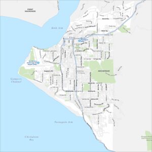
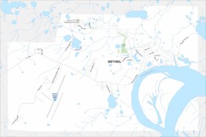
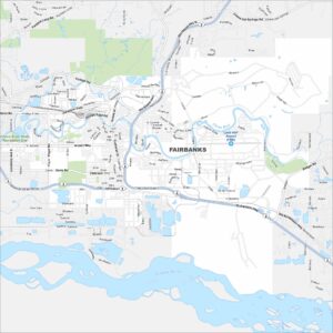
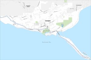
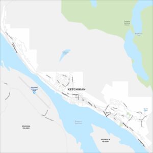
Map of Ketchikan, Alaska

Ketchikan clings to a narrow strip of land between mountains and water. Our map shows harbors and docks lining Tongass Narrows. The city stretches along a single main road.
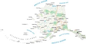
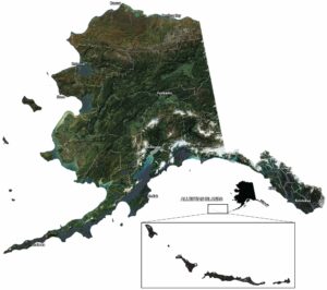
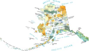
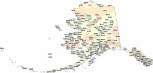
Alaska State Maps
Take a look at our Alaska state maps


Map Information
On the Map
Interstates/Highways: Tongass Hwy Major Roads: Tongass Ave, Water St, Front St, Mill St, Main St, Stedman St, Dock St, Grant St, Park St, Deermount St, 2nd Ave, 3rd Ave, 4th Ave, 5th Ave, Jefferson St, Jackson St, Carlanna Lake Rd, Fairview, Cambria, Alaska Airports: Ketchikan Intl Airport (KTN) Lakes and Reservoirs: Carlanna Lake, Ketchikan Lake, Scout Lake Rivers and Creeks: Tongass Narrows Parks/Preserves/Forests: Tongass National Forest Nearby Communities: Gravina Island, Pennock IslandAlaska City Maps
Browse our collection of Alaska city maps