Map of Kentwood, Michigan
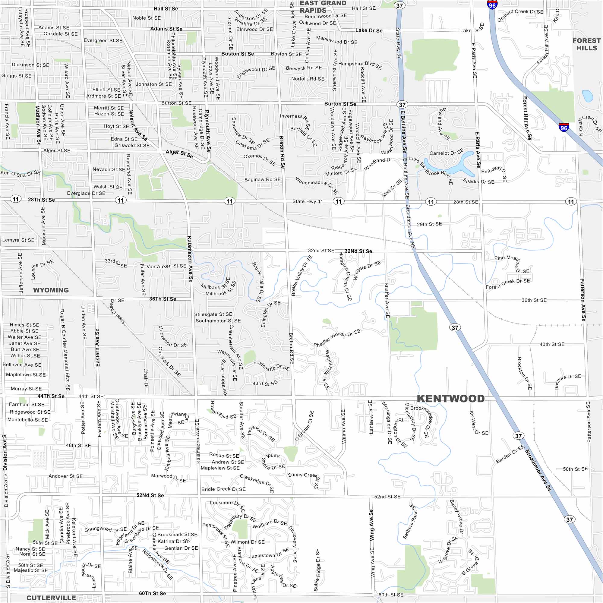
Kentwood borders Grand Rapids. This map shows residential areas and busy commercial corridors. Major highways frame the city’s edges.
Map Information
On the Map
Interstates/Highways: I-96, State Rte 37, State Rte 11 Major Roads: 28th St SE, 44th St SE, 52nd St SE, 60th St SE, Division Ave, Kalamazoo Ave SE, Breton Rd SE, Broadmoor Ave SE, Beltline Ave SE, Patterson Ave SE, Forest Hill Ave SE, Eastern Ave SE, Madison Ave SE, Jefferson Ave SE, Alger St SE, Burton St SE, Hall St SE, Adams St SE, Boston St SE Nearby Communities: East Grand Rapids, Forest Hills, Wyoming, CutlervilleMichigan State Maps
Get to know Michigan with our detailed maps


City Maps of Michigan
Check out our maps of Detroit and other cities in Michigan


