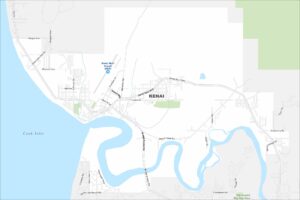
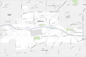
Map of Kenai, Alaska
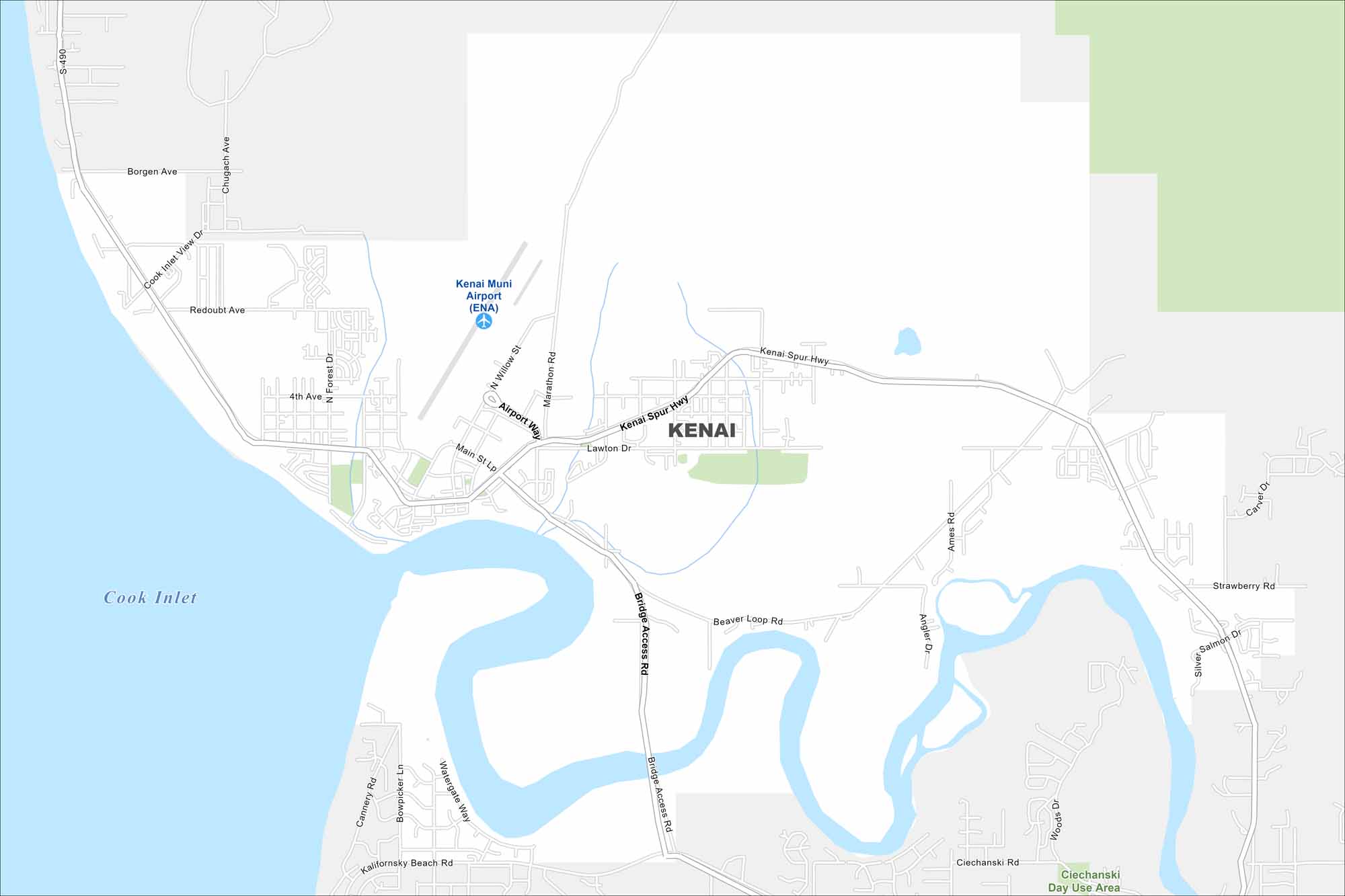
Kenai is right on the Cook Inlet. The map highlights roads, lakes, streams, and the mouth of the Kenai River. Mountains rise in the distance across the water.
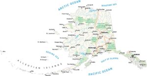
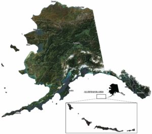
Alaska State Maps
Take a look at our Alaska state maps


Map Information
On the Map
Interstates/Highways: Kenai Spur Hwy, Sterling Hwy (AK-1) Major Roads: Bridge Access Rd, Airport Way, Willow St, Main St Loop Rd, Trading Bay Rd, Marine Spur, Floatplane Rd, Forest Rd, Broad St, Bluff St, Mission Ave, Lawton Dr, Fidalgo Ave, Bidarka St, Cook Dr, Frontage Ave, Overland Ave, Peninsula Ave, Marathon Rd, Upland St Airports: Kenai Municipal Airport (ENA) Lakes and Reservoirs: Cook InletAlaska City Maps
Browse our collection of Alaska city maps