Map of Jupiter, Florida
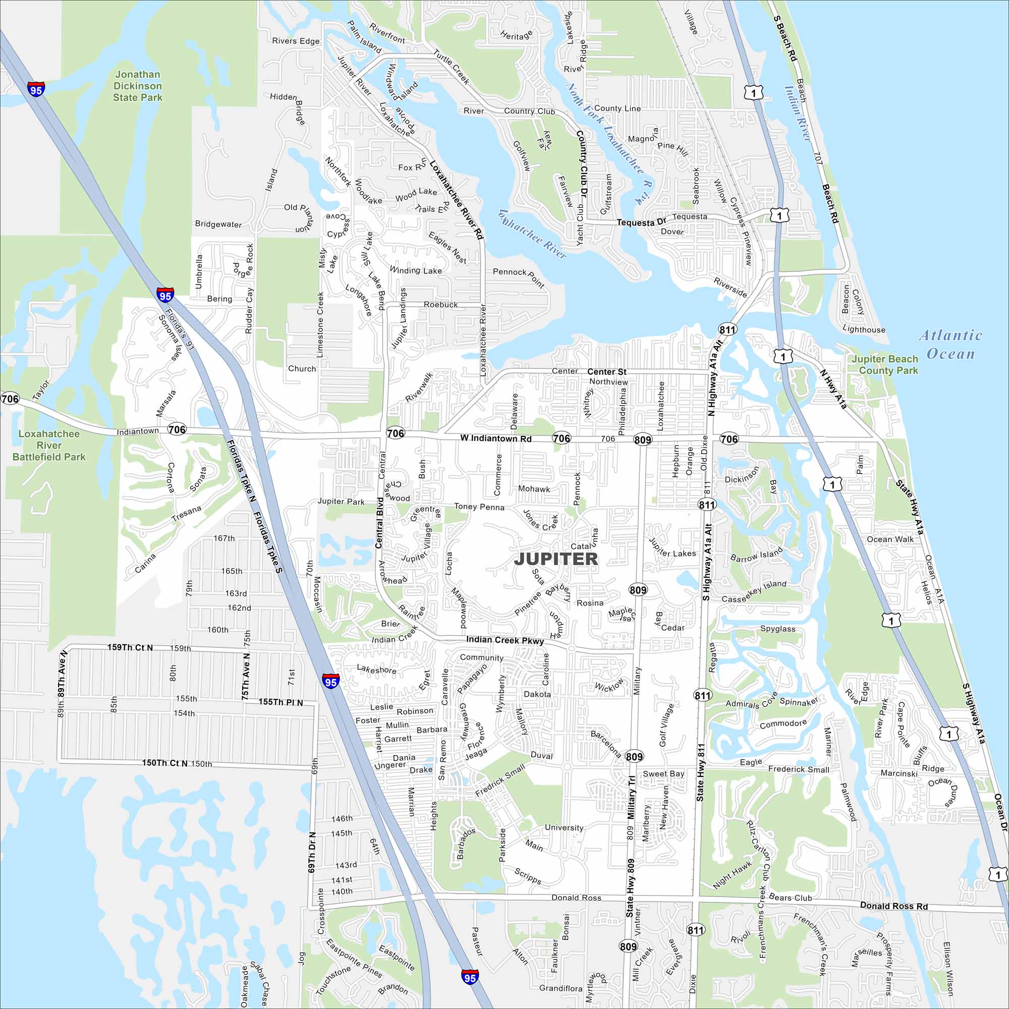
Jupiter sits on Florida’s Atlantic coast. Our map shows the Loxahatchee River meeting the ocean. Beaches, inlets, and waterways shape the city’s layout.
Florida State Maps
Discover Florida through our state maps


Map Information
On the Map
Interstates/Highways: I-95, Florida’s Tpke Major Roads: Indiantown Rd, Military Trl, US Hwy 1, Alt A1A, Indian Creek Pkwy, Center St, Donald Ross Rd, Frederick Small Rd, Main St, Central Blvd, Toney Penna Dr, University Blvd, Island Way, Loxahatchee River Rd, Riverside Dr, Pennock Point Rd, Tequesta Dr, Country Club Dr Lakes and Reservoirs: Atlantic Ocean Major Rivers: Loxahatchee River Parks and Preserves: Jonathan Dickinson State Park, Loxahatchee River Battlefield Park, Jupiter Beach County ParkFlorida City Maps
Chart your course through Miami and Florida’s cities


