Map of Jamestown, New York
Jamestown sits at the south end of Chautauqua Lake. Our map shows a compact downtown near the Chadakoin River. Rolling hills surround the city on all sides.
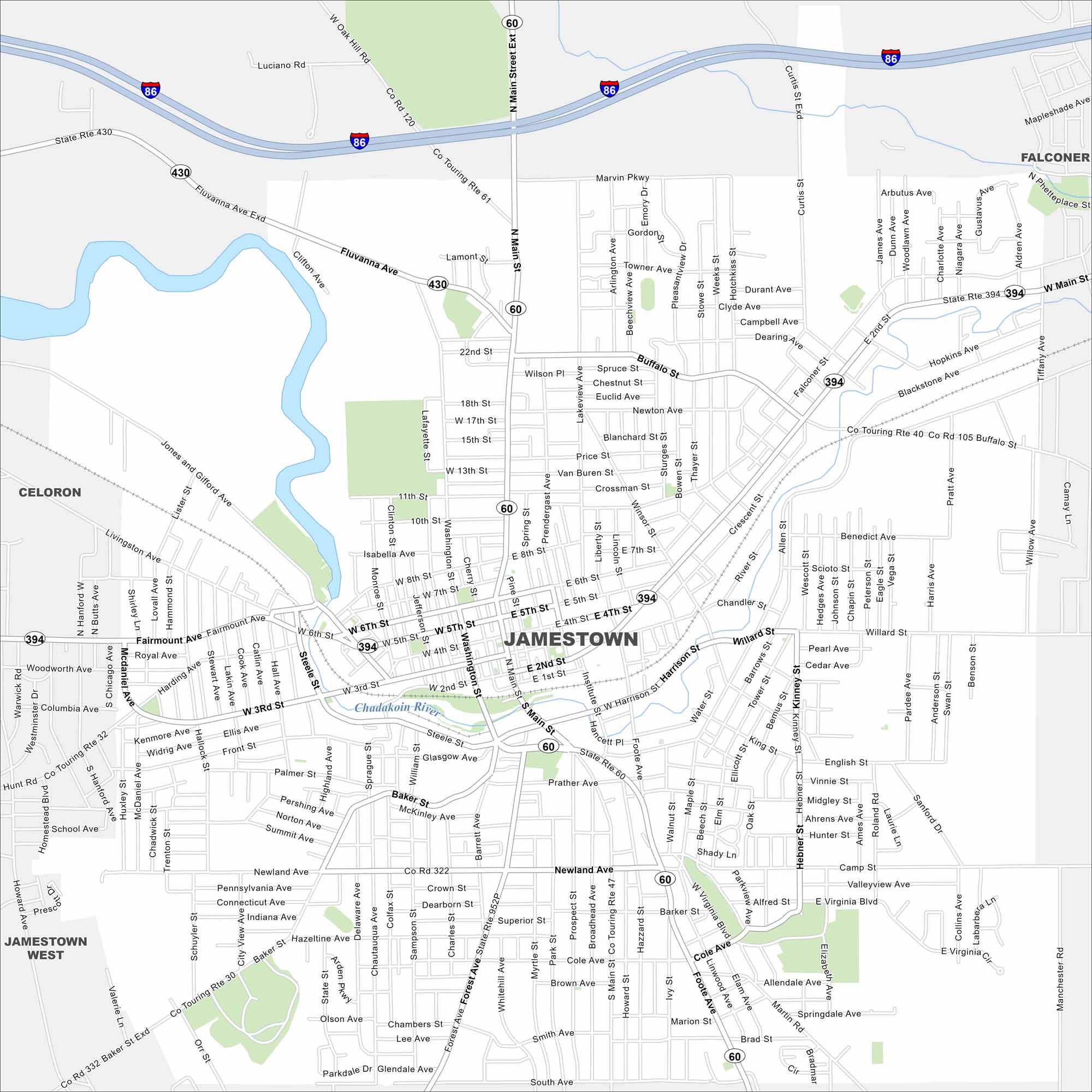
Map Information
On the Map
Interstates/Highways: I-86, State Rte 430, State Rte 394, State Rte 60 Major Roads: Main St, Foote Ave, Washington St, Fluvanna Ave, 2nd St, 3rd St, 4th St, 5th St, 6th St, Fairmount Ave, Harrison St, Willard St, Newland Ave, Forest Ave, Baker St, Lakeview Ave, Buffalo St, Falconer St, Prendergast Ave, Jones and Gifford Ave Major Rivers: Chadakoin River Nearby Communities: Celoron, Jamestown, Jamestown West, FalconerNew York State Maps
Find state maps of the Empire State.


City Maps of New York
Here are the city maps that define New York


