Map of Jacksonville Beach, Florida
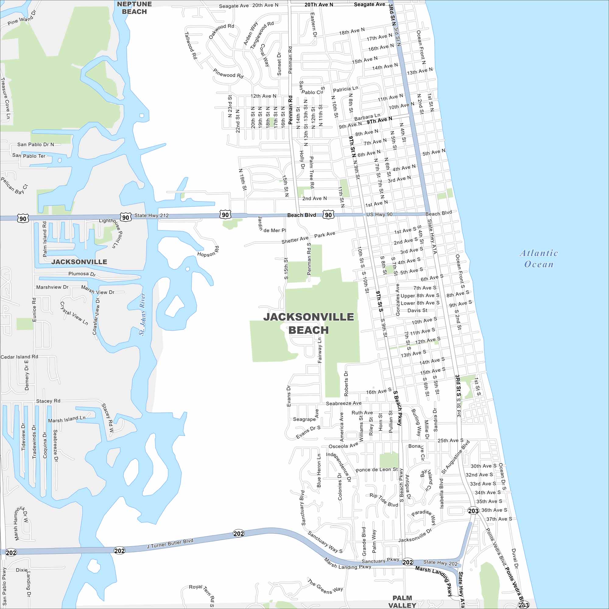
Our map of Jacksonville Beach highlights the Atlantic shoreline. A long stretch of beach runs the length of the city. Neighborhoods cluster just inland from the water.
Florida State Maps
Discover Florida through our state maps


Map Information
On the Map
Interstates/Highways: US Hwy 90, State Rte 202, State Rte 212, State Rte A1a, State Rte 203 Major Roads: Beach Blvd, J Turner Butler Blvd, Marsh Landing Pkwy, Penman Rd, San Pablo Rd, America Ave, Roberts Dr, South Beach Pkwy, Isabella Blvd, 3rd St, 15th St, 8th Ave, 16th Ave, 25th Ave, 37th Ave, 20th Ave, Ponte Vedra Blvd, Sanctuary Pkwy, Discovery Way, Royal Tern Rd Lakes and Reservoirs: Atlantic Ocean Major Rivers: St. Johns River Nearby Communities: Jacksonville, Neptune Beach, Palm ValleyFlorida City Maps
Chart your course through Miami and Florida’s cities


