Map of Idaho
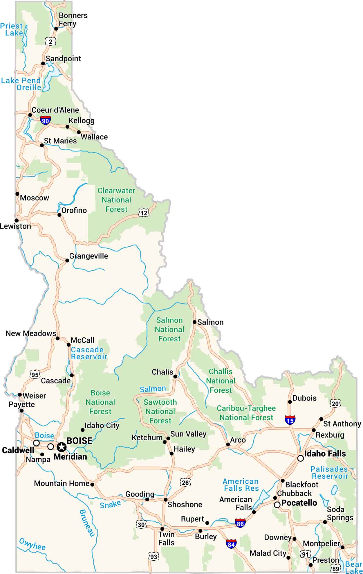
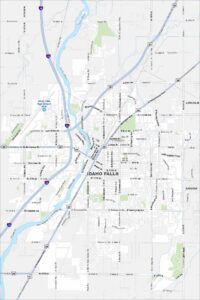
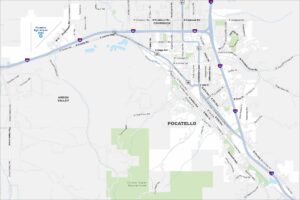
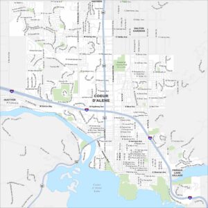
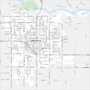
Here’s our map of Idaho made for exploring. Forests, rivers, towns, and lakes fill the landscape. You’ll spot Boise, Coeur d’Alene, and miles of open country in between. The Snake River winds its way across the plains. Every feature stands out clean and clear on our map of the Gem State.


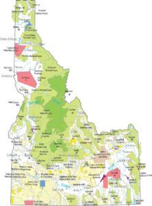


Map Information
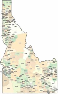
On the Map
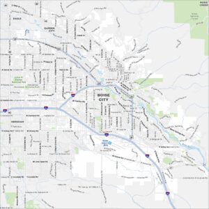
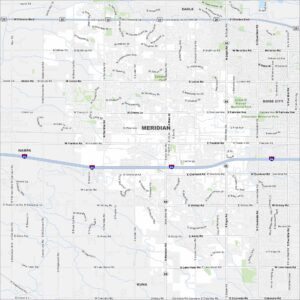
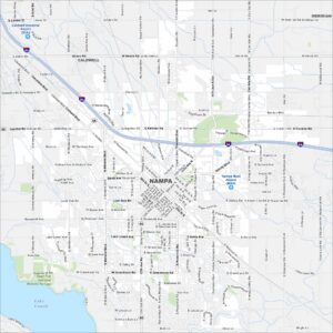
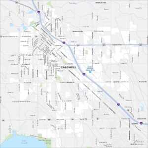
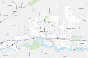
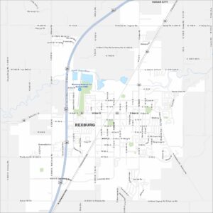
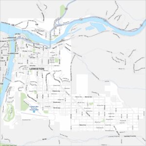
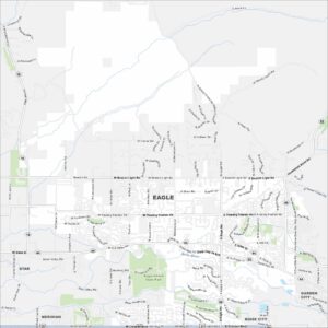
Idaho City Maps
Boise and Idaho city maps right when you need them most