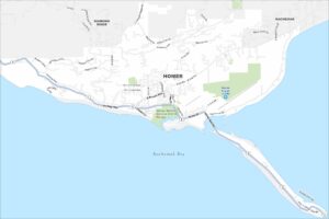
Map of Homer, Alaska
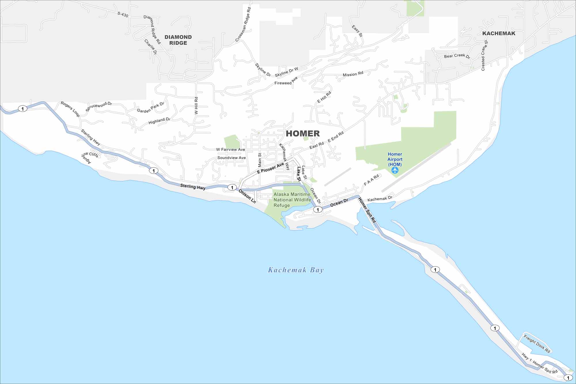
Homer sits on the Kenai Peninsula overlooking Kachemak Bay. The Spit stretches dramatically into the water. Mountains and glaciers rise across the bay. It’s a really neat area of Alaska.
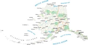
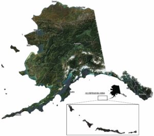
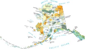
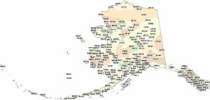
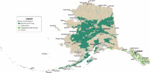
Alaska State Maps
Take a look at our Alaska state maps


Map Information
On the Map
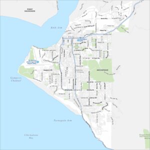
Interstates/Highways: Sterling Hwy (Hwy 1) Major Roads: E Pioneer Ave, Homer Spit Rd, Ocean Dr, E End Rd, Kachemak Way, Main St, Lake St, Skyline Dr, Diamond Ridge Rd, Ohlson Ln, Rogers Loop, Soundview Ave, W Fairview Ave, Highland Dr, Garden Park Dr, Sprucewood Dr, Crossman Ridge Rd, Mission Rd, E Hill Rd, Freight Dock Rd Airports: Homer Airport (HOM) Lakes and Reservoirs: Kachemak Bay Parks/Preserves/Forests: Alaska Maritime National Wildlife Refuge Nearby Communities: Diamond Ridge, KachemakAlaska City Maps
Browse our collection of Alaska city maps