Map of Holly Springs, North Carolina
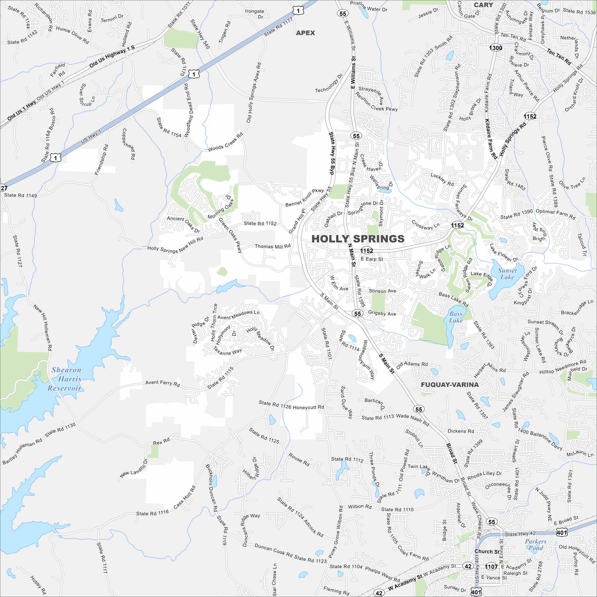
Holly Springs is southwest of Raleigh in the Research Triangle region. Our map shows a mix of lakes, greenways and residential areas. Its rapid growth stands out compared to nearby towns.
Map Information
On the Map
Interstates/Highways: US Hwy 1, State Rte 55, State Rte 42, State Rte 401 Major Roads: Main St, Holly Springs Rd, Sunset Lake Rd, Avent Ferry Rd, Bass Lake Rd, Earp St, Ballentine Dairy Rd, Kildaire Farm Rd, Ten Ten Rd, Smith Rd, Stephenson Rd, Optimist Farm Rd, Thomas Mill Rd, Cass Holt Rd, New Hill Holleman Rd, Academy St, Vance St, Judd Pkwy, Broad St, Dickens Rd Lakes and Reservoirs: Sunset Lake, Bass Lake, Lake Flower, Parkers Pond Nearby Communities: Apex, Cary, Fuquay-VarinaNorth Carolina State Maps
Get to know the mountains and coastlines of North Carolina.


City Maps of North Carolina
Journey through North Carolina with our city maps


