Hawaii Annexation 1898 Map
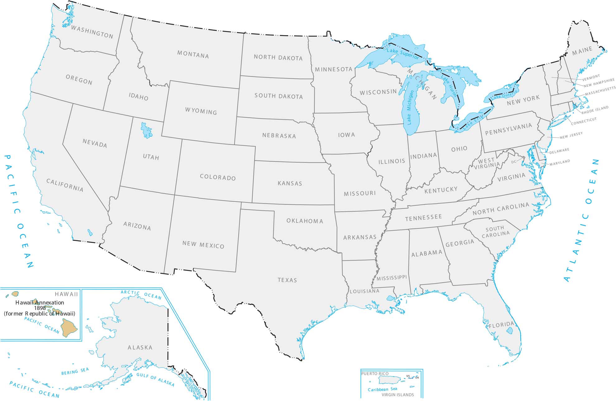
Hawaii is way out in the middle of the Pacific Ocean, like over 2,000 miles from California. The US took over these volcanic islands mainly for military reasons and to have a base at Pearl Harbor. Our Hawaii Annexation 1898 map displays this chain of islands surrounded by ocean.
Map Information
Country Maps
Explore the geography that defines this nation.


