Map of Hamtramck, Michigan
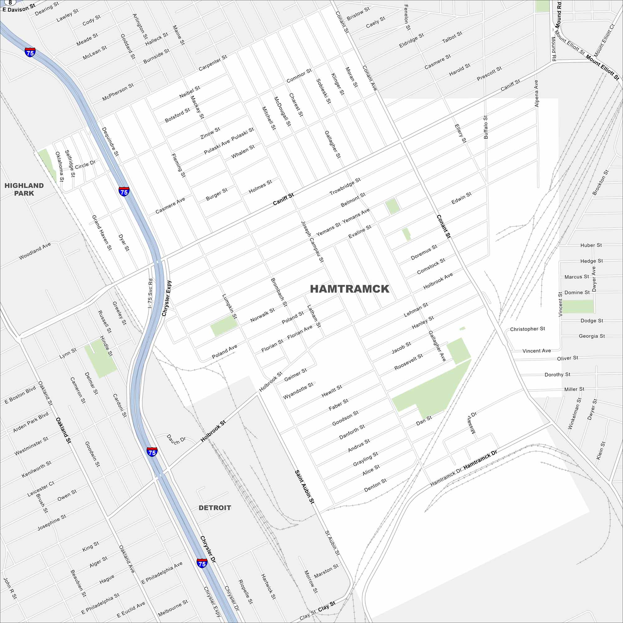
Hamtramck is a small city enclosed entirely by Detroit. On our map, it’s easy to see how tightly packed its streets are. It exists as its own city with a strong industrial history.
Map Information
On the Map
Interstates/Highways: I-75 Major Roads: Joseph Campau St, Caniff St, Conant St, Holbrook Ave, Hamtramck Dr, Chrysler Expwy, Mt Elliott St, Gallagher St, Dequindre St, Moran St, Carpenter St, Miller St, Denton St, Alice St, Grayling St, Goodson St, Hewitt St, Geimer St, Florian Ave, Poland St Nearby Communities: Detroit, Highland ParkMichigan State Maps
Get to know Michigan with our detailed maps


City Maps of Michigan
Check out our maps of Detroit and other cities in Michigan


