Map of Greenville, North Carolina
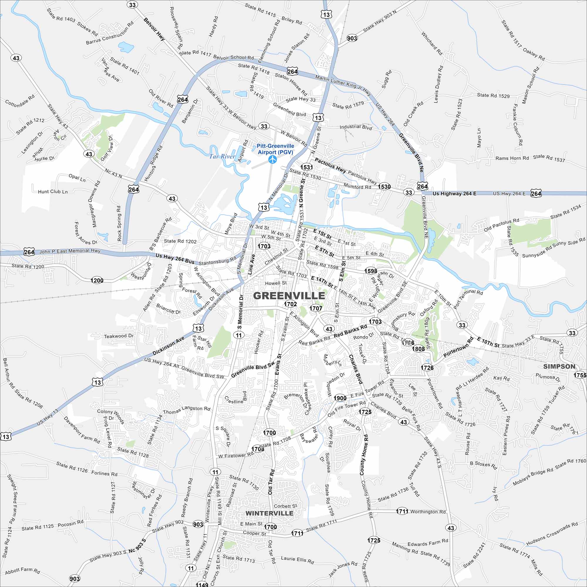
Greenville is in eastern North Carolina along the Tar River. Our map shows the river running near the center of town. We also show highways, roads, lakes and nearby communities.
Map Information
On the Map
Interstates/Highways: US Hwy 264, US Hwy 13, State Rte 11, State Rte 43, State Rte 33, State Rte 903 Major Roads: Greenville Blvd, Memorial Dr, Fire Tower Rd, Dickinson Ave, Evans St, Charles Blvd, 10th St, 14th St, Arlington Blvd, Stantonsburg Rd, 5th St, 1st St, Greene St, Cotanche St, Reade St, Pitt St, Moye Blvd, Red Banks Rd, Portertown Rd, Corey Rd Airports: Pitt-Greenville Airport (PGV) Major Rivers: Tar River Nearby Communities: Winterville, SimpsonNorth Carolina State Maps
Get to know the mountains and coastlines of North Carolina.


City Maps of North Carolina
Journey through North Carolina with our city maps


