Map of Great Neck, New York
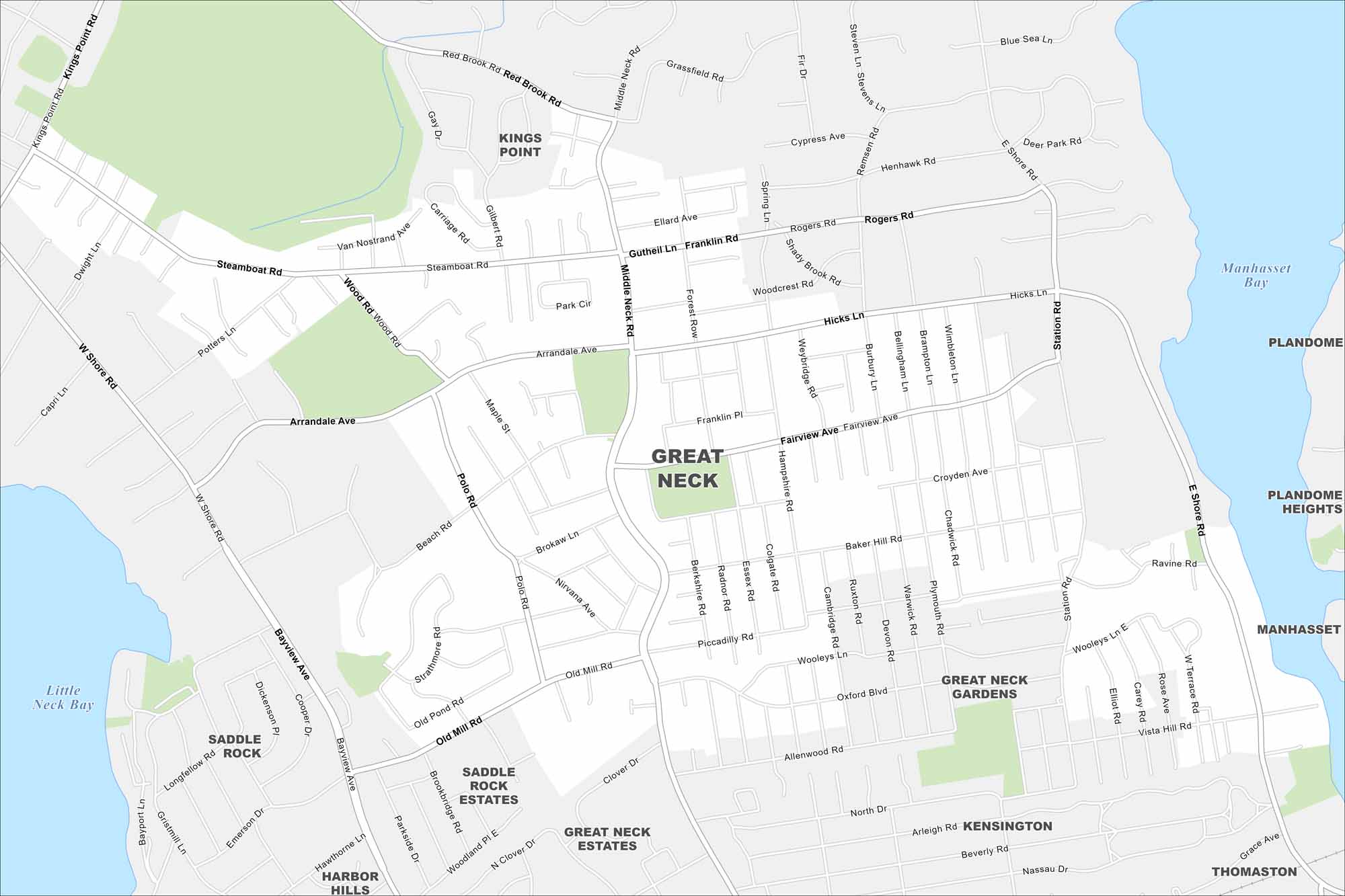
Great Neck is on Long Island’s North Shore, east of Queens. This map shows peninsulas and bays cutting into the coast. It also shows roads, green spaces and nearby communities.
Map Information
On the Map
Interstates/Highways: Major Roads: Middle Neck Rd, Arrandale Ave, Hicks Ln, Polo Rd, Old Mill Rd, Fairview Ave, Station Rd, Shore Rd, Steamboat Rd, Kings Point Rd, Bayview Ave, West Shore Rd, Piccadilly Rd, Woolleys Ln, Oxford Blvd, Allenwood Rd, Arleigh Rd, Grace Ave, Vista Hill Rd, Croyden Ave Lakes and Reservoirs: Manhasset Bay, Little Neck Bay Nearby Communities: Kings Point, Plandome, Plandome Heights, Manhasset, Thomaston, Kensington, Great Neck Gardens, Saddle Rock Estates, Great Neck Estates, Saddle Rock, Harbor HillsNew York State Maps
Find state maps of the Empire State.


City Maps of New York
Here are the city maps that define New York


