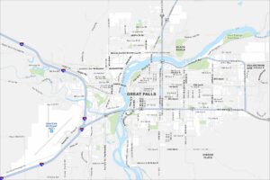
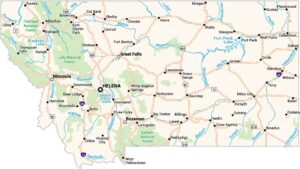
Map of Great Falls, Montana
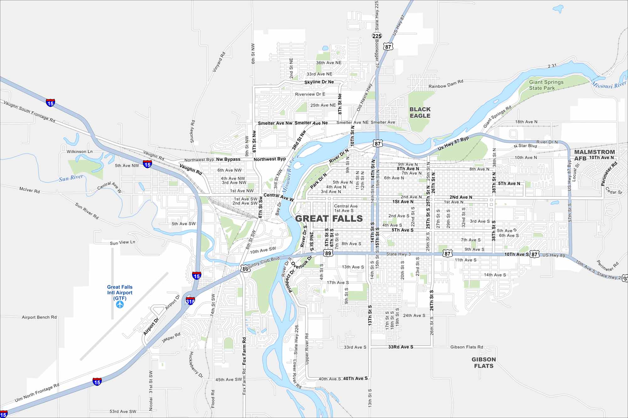
Explore our map of Great Falls, a city in central Montana. Located along the Missouri River, you’ll see rivers, roads and green spaces. The city is often called the “Electric City” because of the many hydroelectric dams nearby.
Map Information
On the Map
Interstates/Highways: I-15, I-315, US Hwy 87, US Hwy 89, State Rte 3, State Rte 200, State Rte 225, State Rte 226 Major Roads: Central Ave, 10th Ave, 1st Ave, 2nd Ave, 6th Ave, 9th St, 14th St, 15th St, 25th St, 26th St, 38th St, Smelter Ave, Northwest Byp, River Dr, Airport Rd, Fox Farm Rd, Lower River Rd, Bootlegger Tr, Vaughn Rd, Skyline Dr Airports: Great Falls Intl Airport (GTF) Major Rivers: Missouri River, Sun River Parks and Preserves: Giant Springs State Park Nearby Communities: Great Falls, Black Eagle, Malmstrom AFB, Gibson FlatsMontana State Maps
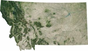
Wander through this wide-open state with our map collection.


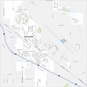
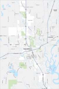
Montana City Maps
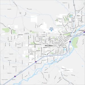
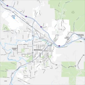
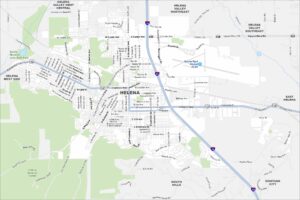
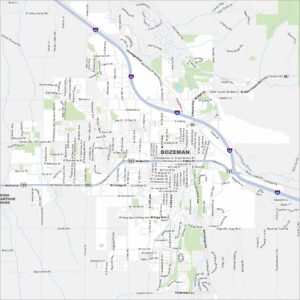
See our map collection of Billings and Montana cities