Map of Gilbert, Arizona
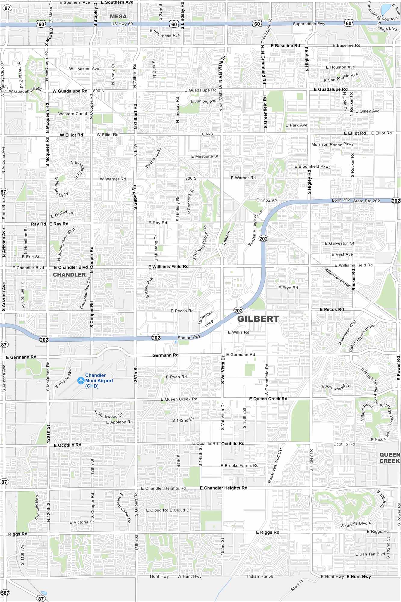
Our map of Gilbert, Arizona, shows a fast-growing suburb southeast of Phoenix. It was once recognized as the “Hay Shipping Capital of the World” back in the early 1900s.
Arizona State Maps
Check out our Arizona state maps we’ve put together


Map Information
On the Map
Interstates/Highways: US-60 (Superstition Fwy), State Rte 202 (Santan Fwy), State Rte 87 (Arizona Ave) Major Roads: Baseline Rd, Guadalupe Rd, Elliot Rd, Warner Rd, Ray Rd, Chandler Blvd, Williams Field Rd, Pecos Rd, Germann Rd, Queen Creek Rd, Ocotillo Rd, Chandler Heights Rd, Riggs Rd, Gilbert Rd, Cooper Rd, McQueen Rd, Val Vista Dr, Greenfield Rd, Higley Rd, Recker Rd Airports: Chandler Muni Airport (CHD) Nearby Communities: Mesa, Chandler, Queen CreekArizona City Maps
Here’s our full batch of Arizona city maps


