Gateway Arch National Park Map
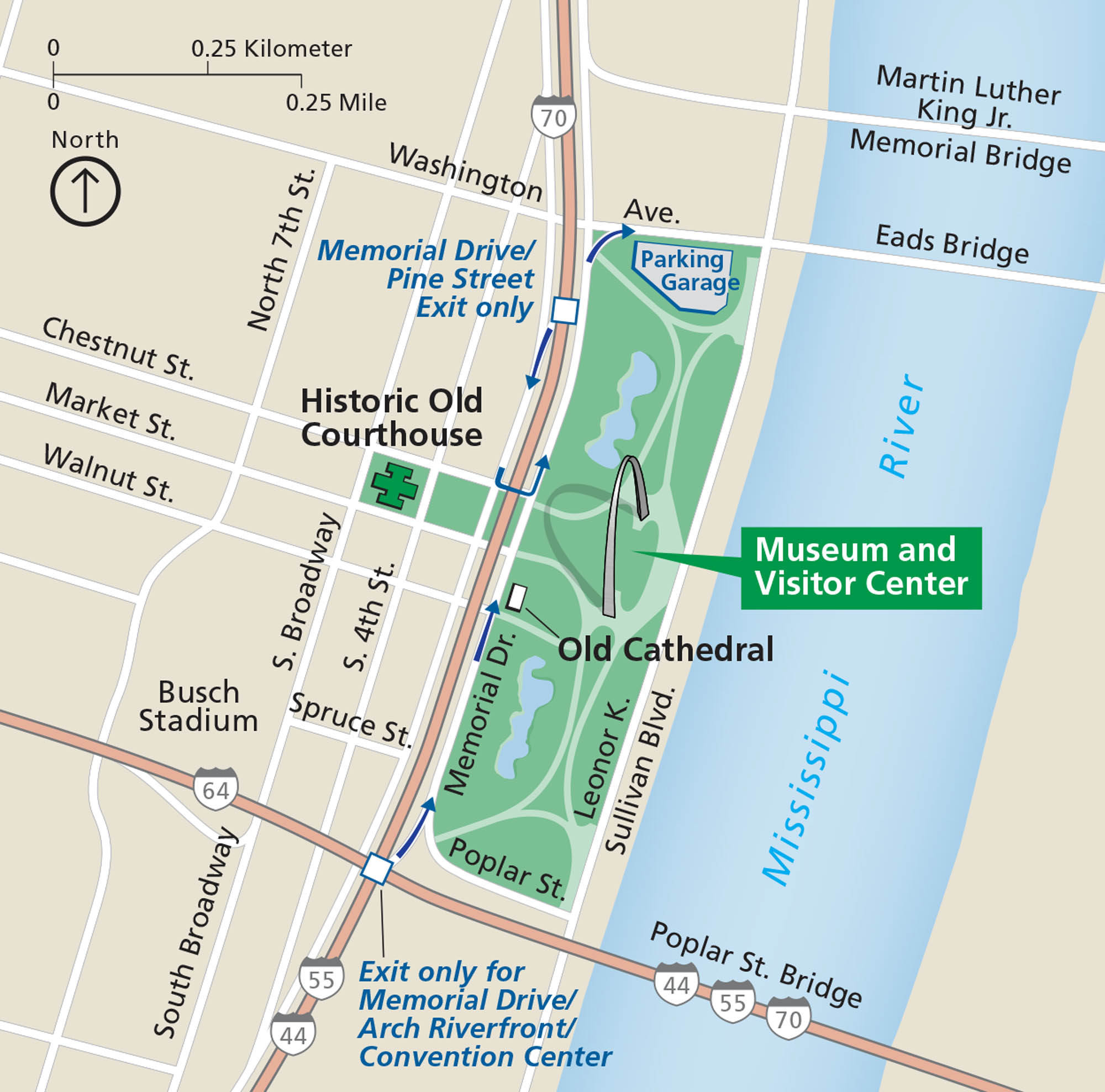
Gateway Arch National Park centers on one shining landmark. In downtown St. Louis, the arch rises over the Mississippi River with parks and walkways around it. Our national park map shows paths, museums, and roads.
Map Information
National Park Maps
Find maps of green spaces and national parks near you.


