Map of Garner, North Carolina
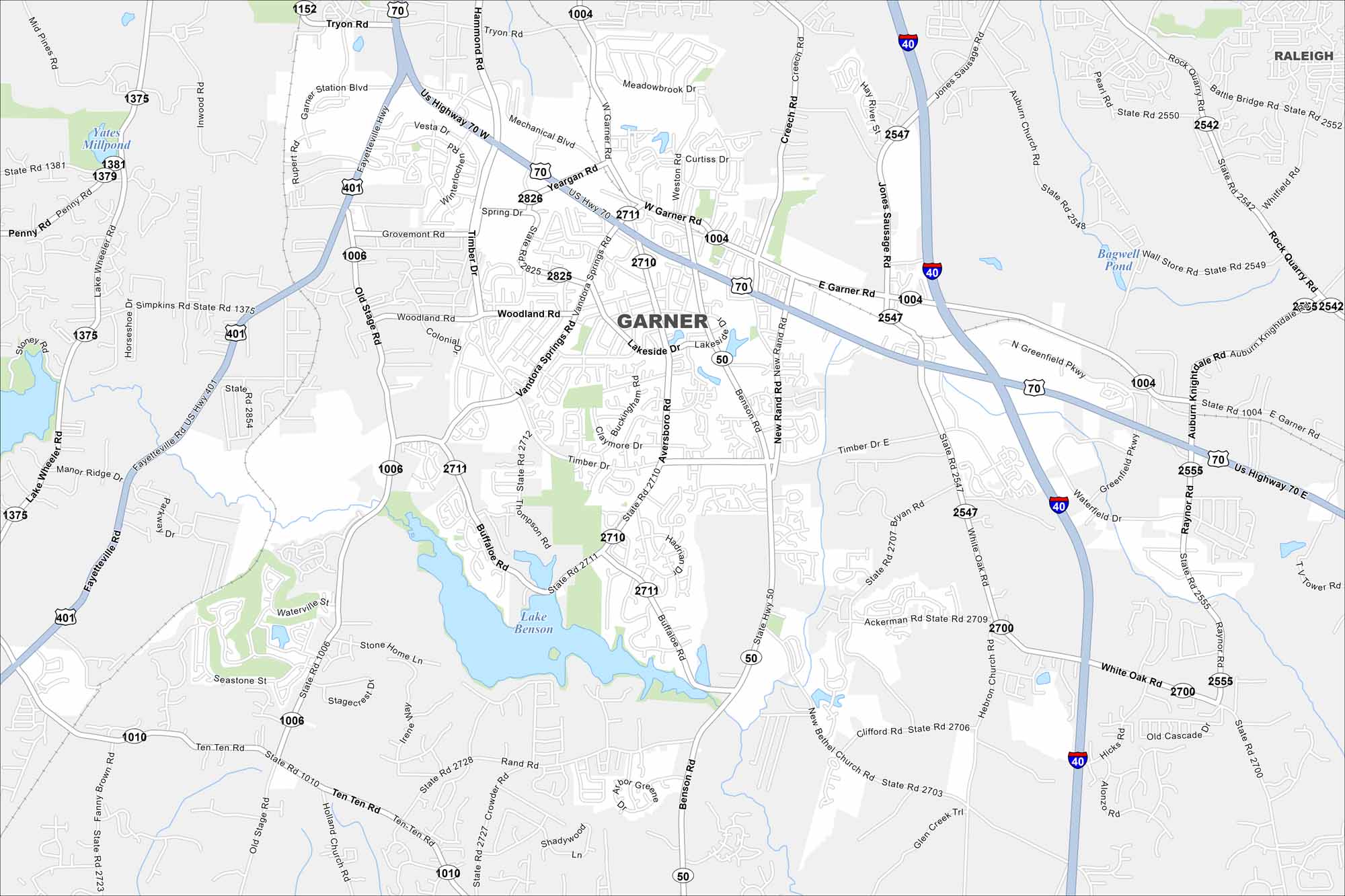
Garner is shown with its roadways, parks, and nearby waterways. You can see how the highways connect to Raleigh. Although it’s located just southeast of the state capital, it still maintains its own identity.
Map Information
On the Map
Interstates/Highways: I-40, US Hwy 70, US Hwy 401, State Rte 50 Major Roads: Garner Rd, Vandora Springs Rd, Timber Dr, Benson Rd, Main St, Aversboro Rd, Old Stage Rd, New Rand Rd, White Oak Rd, Bryan Rd, Yeargan Rd, Spring Dr, Buffaloe Rd, Ten Ten Rd, Mechanical Blvd, Station Blvd, Woodland Rd, Lakeside Dr, Hebron Church Rd, Thompson Rd Lakes and Reservoirs: Lake Benson, Yates Millpond, Bagwell Pond Nearby Communities: RaleighNorth Carolina State Maps
Get to know the mountains and coastlines of North Carolina.


City Maps of North Carolina
Journey through North Carolina with our city maps


