Map of Flagstaff, Arizona
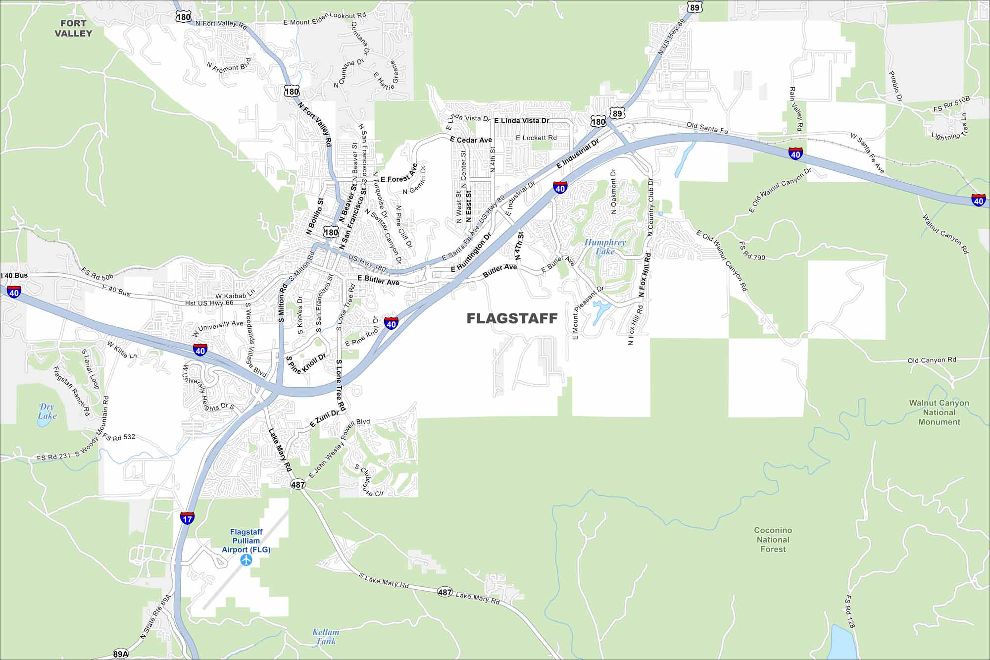
Explore our map of Flagstaff high on the Colorado Plateau. Ponderosa pine forests surround the city in every direction. The San Francisco Peaks rising just north make this place unforgettable.
Arizona State Maps
Check out our Arizona state maps we’ve put together


Map Information
On the Map
Interstates/Highways: I-40, I-17, US-180, US-89, SR-89A, Lake Mary Rd (FH-3/SR-487), Old Santa Fe Hwy, Hwy 66 Major Roads: Milton Rd, Butler Ave, San Francisco St, Beaver St, Switzer Canyon Dr, Forest Meadows St, Lone Tree Rd, John Wesley Powell Blvd, University Heights Dr, Woodlands Village Blvd, Beulah Blvd, Yale St, Riordan Rd, Humphreys St, Elden Lookout Rd, Industrial Dr, Huntington Dr, Cedar Ave, Lockett Rd, Linda Vista Dr Airports: Flagstaff Pulliam Airport (FLG) Lakes and Reservoirs: Humphrey Lake, Dry Lake, Kellam Tank Parks/Preserves/Forests: Coconino National Forest, Walnut Canyon National Monument Nearby Communities: Fort ValleyArizona City Maps
Here’s our full batch of Arizona city maps


