Map of Fernandina Beach, Florida
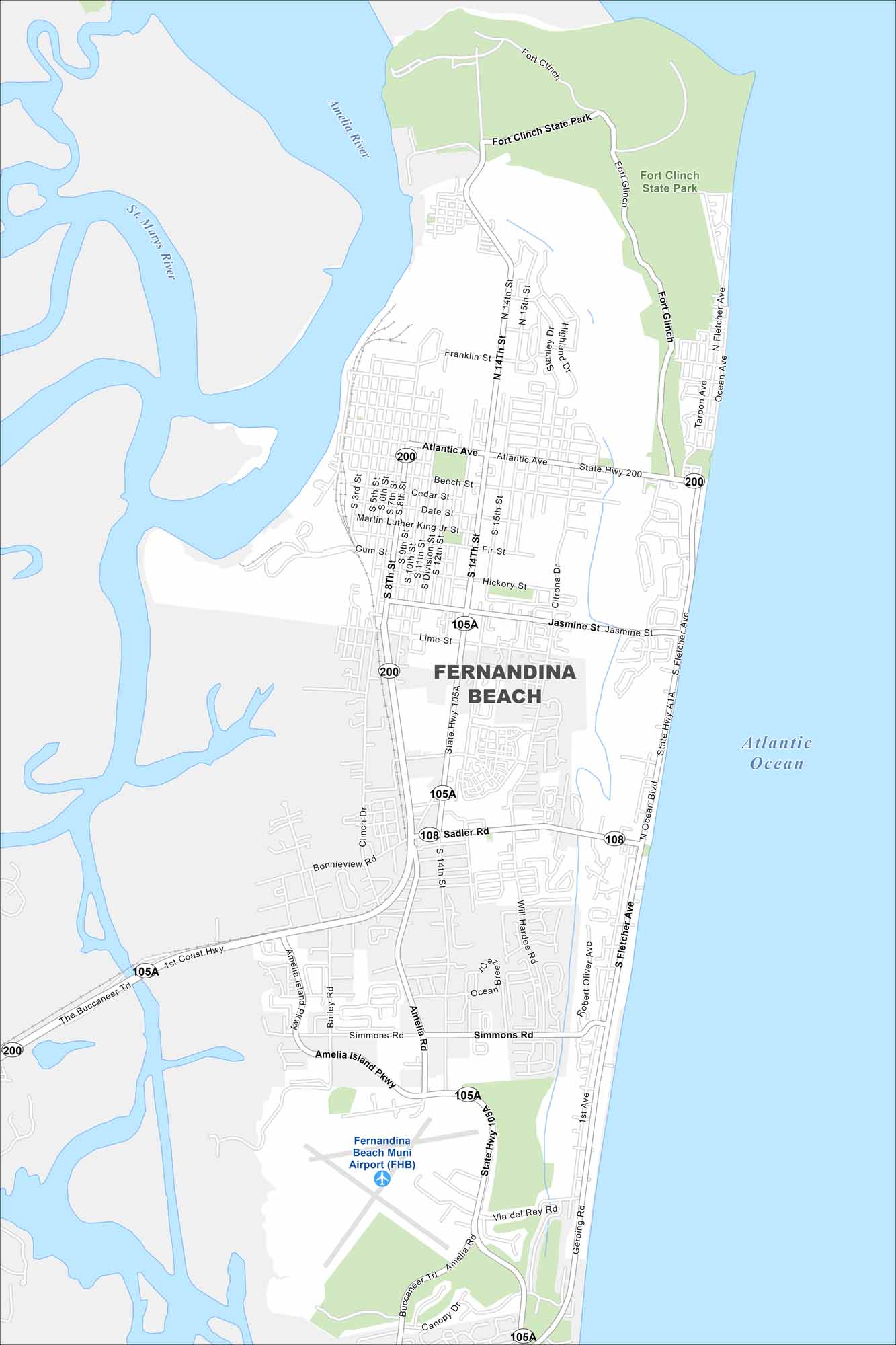
Check out our map of Fernandina Beach on Amelia Island. It hugs the Atlantic shoreline with wide beaches to the east. The barrier island location makes it unique spot in Florida.
Florida State Maps
Discover Florida through our state maps


Map Information
On the Map
Interstates/Highways: State Hwy 200, State Hwy 105A, State Hwy A1A Major Roads: Atlantic Ave, Sadler Rd, Fletcher Ave, Amelia Island Pkwy, Simmons Rd, Buccaneer Trl, Jasmine St, 14th St, 8th St, Citrona Dr, Will Hardee Rd, Bonnieview Rd, Clinch Dr, Beech St, Cedar St, Date St, Gum St, Lime St, Fir St, Hickory St Airports: Fernandina Beach Muni Airport (FHB) Lakes and Reservoirs: Atlantic Ocean Major Rivers: Amelia River, St. Marys River Nearby Communities: Fort Clinch State ParkFlorida City Maps
Chart your course through Miami and Florida’s cities


