Map of Elon, North Carolina
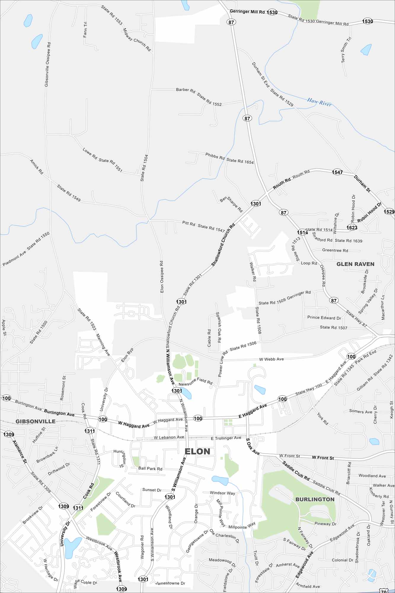
See Elon on our map with S Williamson Ave as the main route here. The town has a small, walkable street network. Elon sits in the Piedmont region of central North Carolina.
Map Information
On the Map
Interstates/Highways: US Hwy 70, State Rte 87, State Rte 100 Major Roads: Williamson Ave, Haggard Ave, University Dr, Front St, Webb Ave, Lebanon Ave, Trollinger Ave, Westbrook Ave, Church St, Shallowford Church Rd, Gibsonville Ossipee Rd, Manning Ave, Power Line Rd, Saddle Club Rd, Gerringer Rd, Oak Ave, Ball Park Rd, Walker Rd, Cook Rd, Burke St Major Rivers: Haw River Nearby Communities: Burlington, Gibsonville, Glen RavenNorth Carolina State Maps
Get to know the mountains and coastlines of North Carolina.


City Maps of North Carolina
Journey through North Carolina with our city maps


