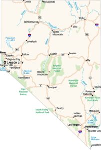
Map of Elko, Nevada
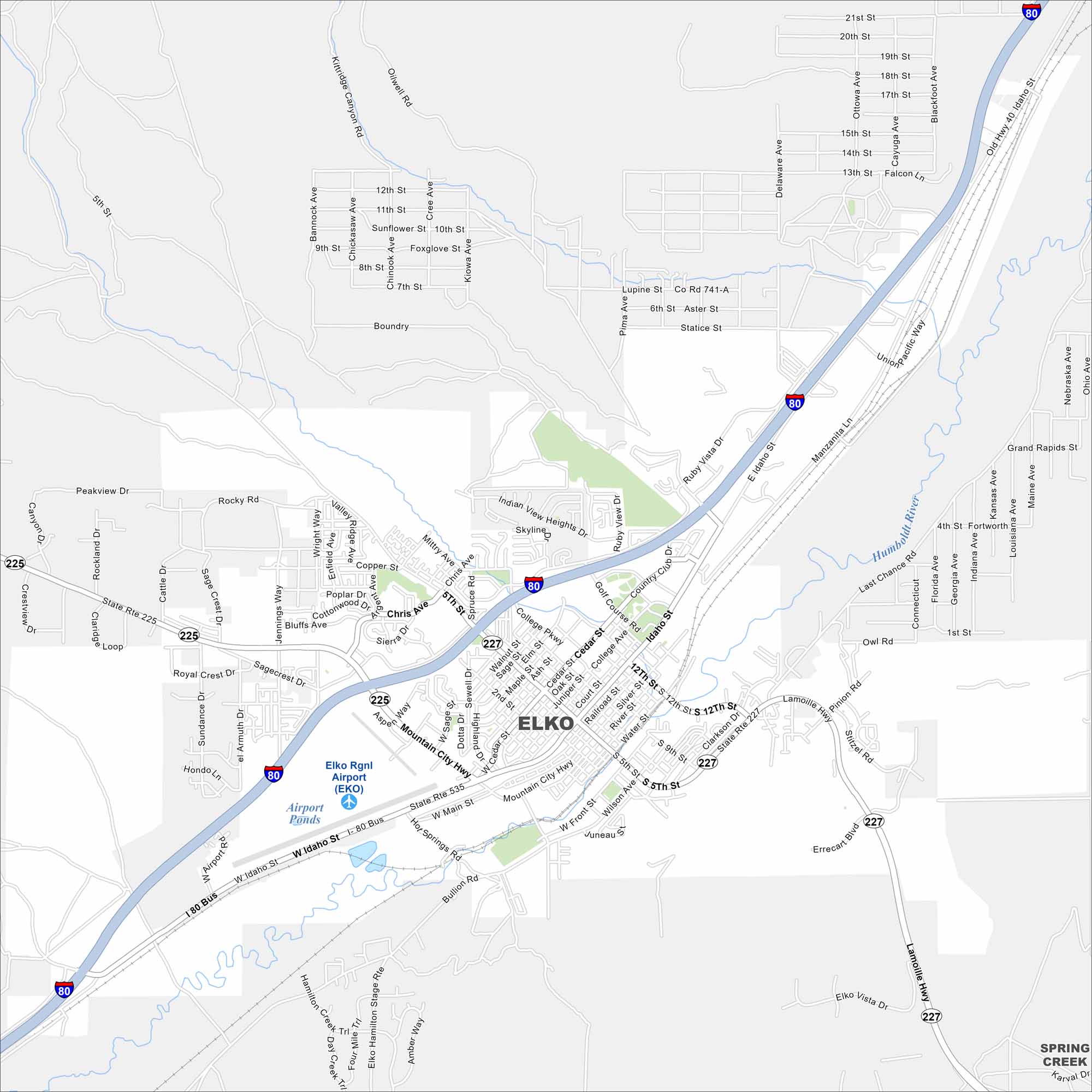
Elko is a high-desert city surrounded by mountain ranges. You’ll spot I-80 running east–west across the area. The city is often called the “Heart of Northeast Nevada”. Why? Because it’s the largest city here.
Map Information
On the Map
Interstates/Highways: I-80, US Hwy 40, State Rte 225, State Rte 535, State Rte 227 Major Roads: Idaho St, Mountain City Hwy, Bullion Rd, Lamoille Hwy, 12th St, 5th St, College Pkwy, Silver St, Cedar St, Errecart Blvd, Jennings Way, Errecart Blvd, Kittridge Canyon Rd, Oilwell Rd, 9th St, 14th St, 21st St, Ruby Vista Dr, Gleniview Dr, Sunset Dr Airports: Elko Rgnl Airport (EKO) Lakes and Reservoirs: Airport Ponds Major Rivers: Humboldt River Nearby Communities: Spring CreekNevada State Maps
Click on one of our maps of the Silver State.
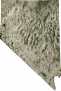


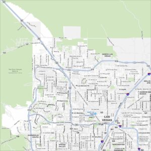
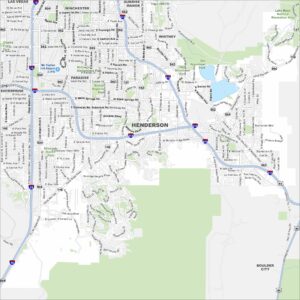
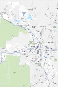
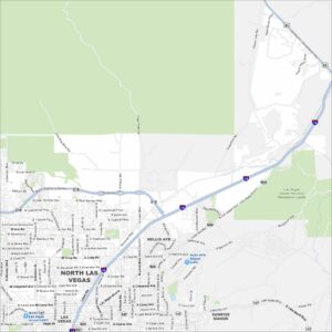
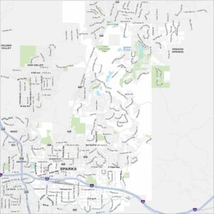
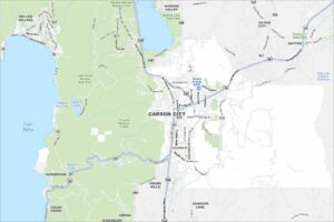
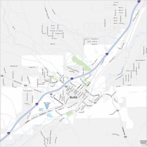
City Maps of Nevada
Explore cities in Nevada from desert to mountains