Map of Edgewater, Florida
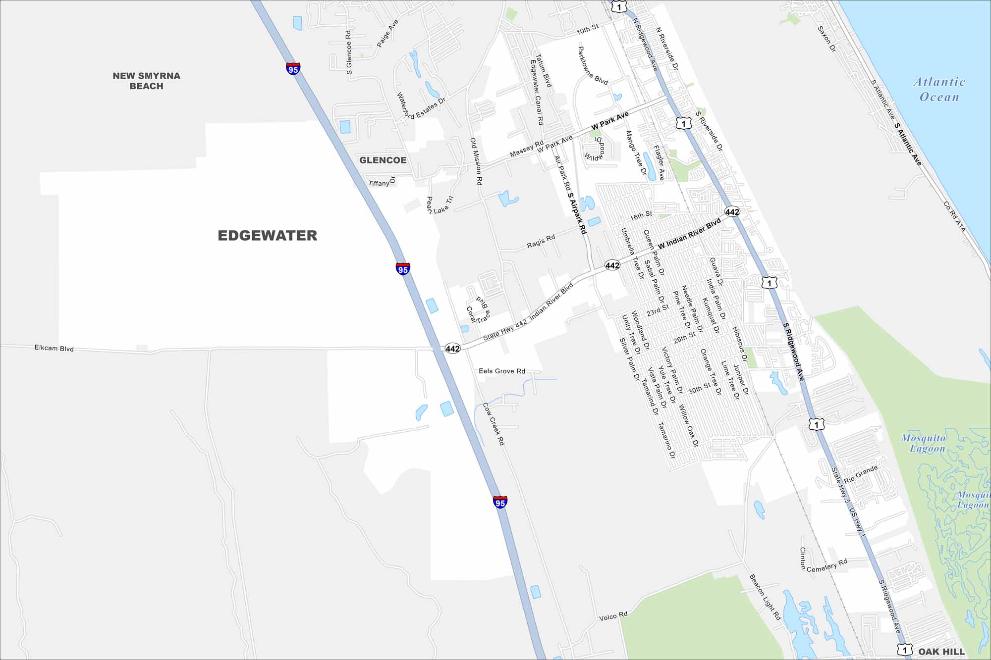
Edgewater sits along the Indian River, just south of New Smyrna Beach. On the map, you’ll see long stretches of waterfront and nearby canals. It’s a gateway to the Mosquito Lagoon, known for fishing and boating.
Florida State Maps
Discover Florida through our state maps


Map Information
On the Map
Interstates/Highways: I-95, US Hwy 1, State Rte 442, State Rte A1A, State Rte 5 Major Roads: Ridgewood Ave, Indian River Blvd, Park Ave, Air Park Rd, Riverside Dr, 10th St, 26th St, 30th St, Volco Rd, Cemetery Rd, Beacon Light Rd, Clinton St, Hibiscus Dr, Umbrella Tree Dr, Queen Palm Dr, Silver Palm Dr, Tamarind Dr, Willow Oak Dr, Yulee Tree Dr, Vista Palm Dr Lakes and Reservoirs: Atlantic Ocean, Mosquito Lagoon Nearby Communities: New Smyrna Beach, Glencoe, Oak HillFlorida City Maps
Chart your course through Miami and Florida’s cities


