Map of Eden, North Carolina
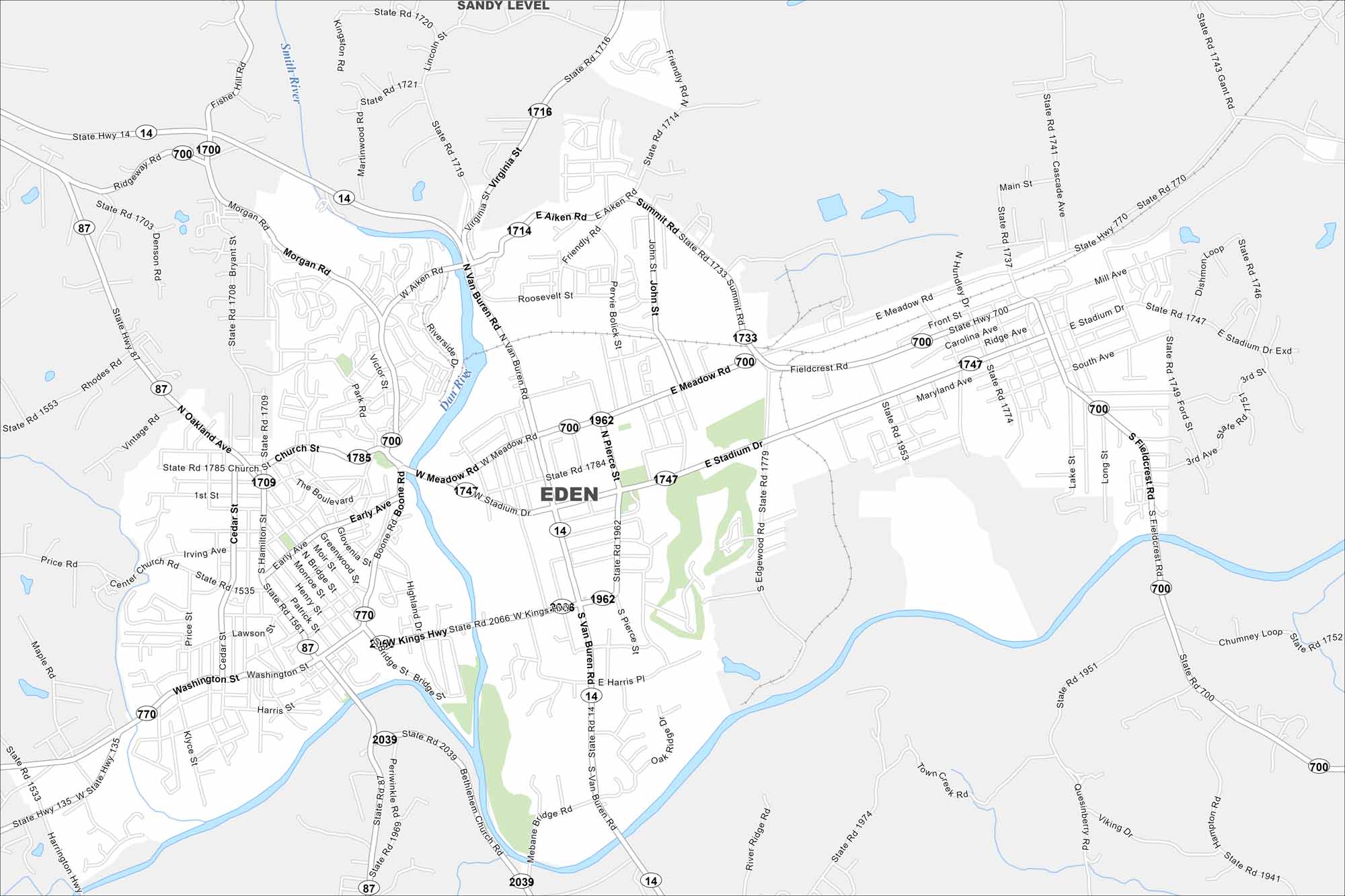
Eden sits near the Virginia border where the Dan and Smith Rivers meet. This map outlines these two waterways surrounding and highways/roadways. It’s long been tied to the rivers that powered its textile history.
Map Information
On the Map
Interstates/Highways: State Rte 87, State Rte 14, State Rte 770, State Rte 700 Major Roads: Main St, Kings Hwy, Van Buren Rd, Stadium Dr, Meadow Rd, Washington St, Church St, Bridge St, Early Ave, Boone Rd, Highland Dr, Pierce St, Kennedy St, Fieldcrest Rd, Summit Rd, Aiken Rd, Morgan Rd, Miller Ave, Maryland Ave, Ridge Ave Major Rivers: Dan River, Smith River Nearby Communities: Sandy LevelNorth Carolina State Maps
Get to know the mountains and coastlines of North Carolina.


City Maps of North Carolina
Journey through North Carolina with our city maps


