Map of Dunkirk, New York
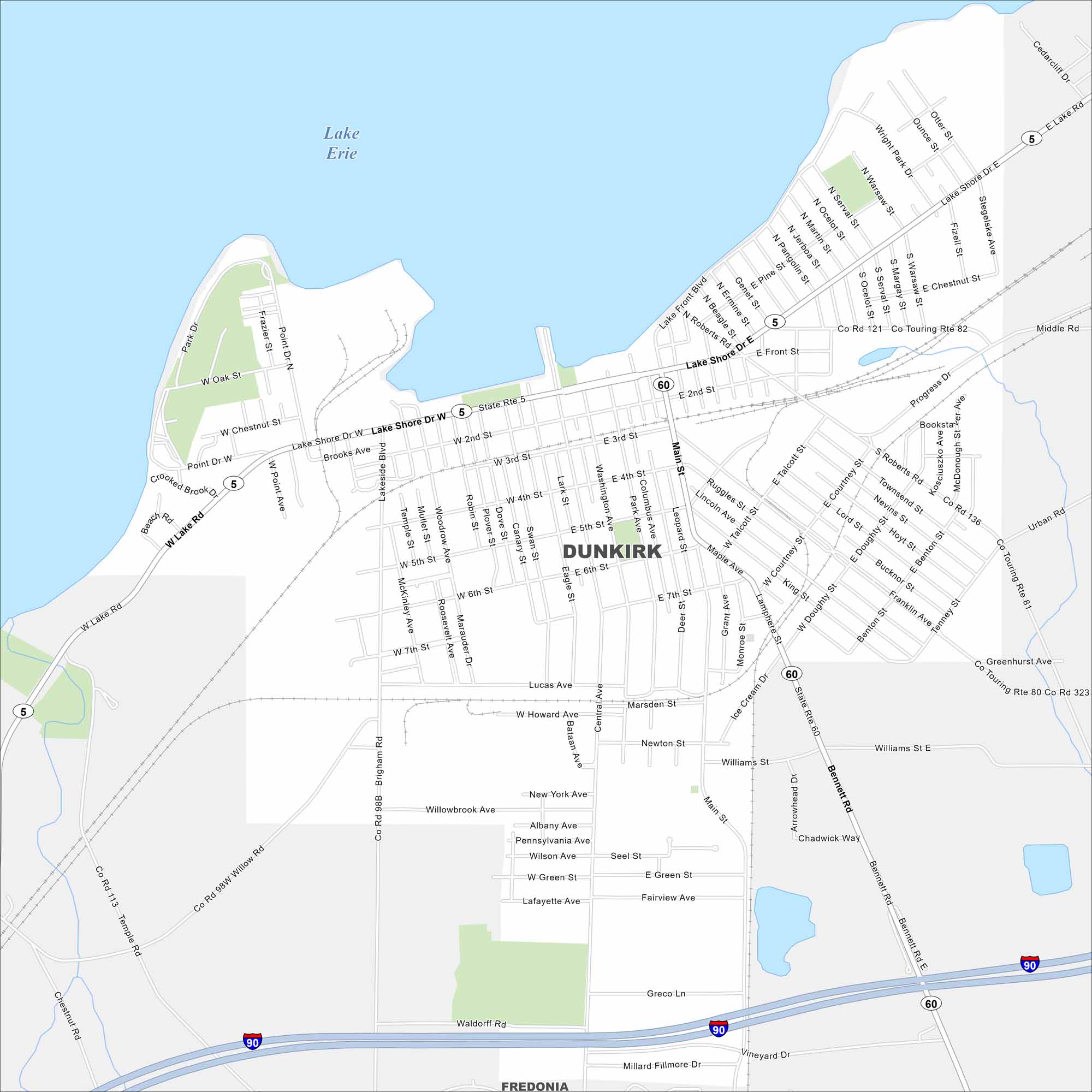
Dunkirk lies on the shores of Lake Erie in western New York. Our map shows Lake Shore Drive and Lake Front Blvd that stretches along the waterfront. It’s a small lakefront city with a long maritime history.
Map Information
On the Map
Interstates/Highways: I-90, State Rte 5, State Rte 60 Major Roads: Lake Shore Dr, Main St, Bennett Rd, Central Ave, Roberts Rd, Doughty St, Courtney St, 4th St, 5th St, 6th St, 7th St, Lucas Ave, Howard Ave, Williams St, Wright Park Dr, Middle Rd, Progress Dr, Urban Rd, Millard Fillmore Dr, Vineyard Dr Lakes and Reservoirs: Lake Erie Nearby Communities: FredoniaNew York State Maps
Find state maps of the Empire State.


City Maps of New York
Here are the city maps that define New York


