Downtown Tulsa Map
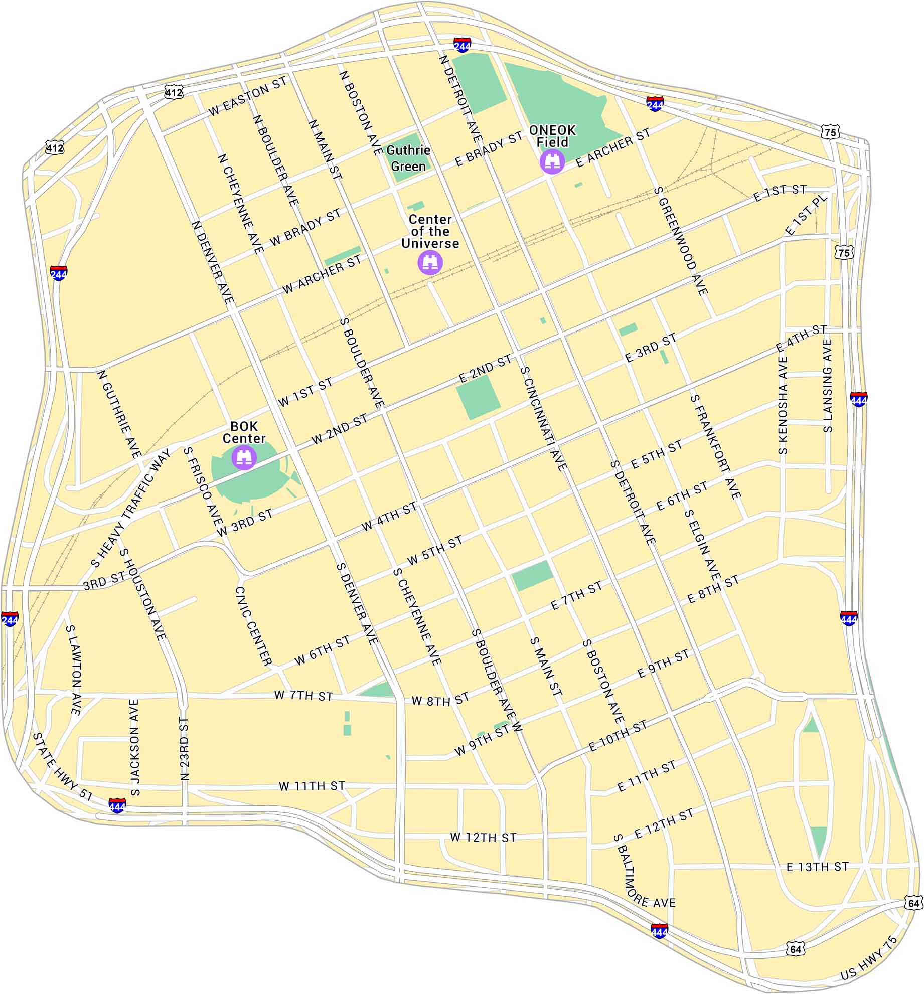
Our map of Downtown Tulsa shows the city center along the Arkansas River. It lays out main streets, parks, and the biggest attractions in Tulsa.
Map Information
On the Map
Interstates/Highways: I-244, I-444, US Hwy 75, US Hwy 64, State Hwy 51, US Hwy 412 Major Roads: Main St, Boulder Ave, Denver Ave, Detroit Ave, Cincinnati Ave, Boston Ave, Cheyenne Ave, Archer St, Brady St, 1st St, 2nd St, 3rd St, 4th St, 5th St, 6th St, 11th St, 13th St, Elgin Ave, Greenwood Ave, Kenosha Ave Parks: Guthrie Green Landmarks: BOK Center, ONEOK FieldCity Maps of Oklahoma
Explore Oklahoma’s cities with our maps


